The first of many new articles on historic U.S. 65 is now up over at the U.S. 65 project! I’ve been sitting on quite a few photos I took last year, and I thought it was time to let U.S. 65 get out from under U.S. 61’s shadow. The first article gives a photo-tour of the old road between Albert Lea and the Iowa border.
Tag: U.S. 65
Introducing the new U.S. 65 page!
After several months of work, I finally have the new U.S. 65 pages ready for public consumption! I used a very different approach than I did with the U.S. 61 project. This time, the pages are built around a couple of dynamic maps created using KML and the Google Maps API that allow you to freely explore the historic route without having to wade through pages of narrative. The project includes a normal map showing the surviving historic alignments, and a new feature that allows you to see U.S. 65’s route in a given year!
Albany Avenue, Rice County
Today we have another set of photos from “Highway Explorer”, this time of a stretch of old highway in the northeastern corner of Rice County. This road, now labeled on maps as Albany Avenue, was once part of State Highway 165. However, its history goes back a bit further. (See below for a map of the south end of the old alignment).
The first road in this area was the historic Dodd Road, a path blazed between St. Paul and St. Peter in the mid 1850’s. By the early 1920’s, the stretch of Dodd Road  in northeast Rice County had ceased to be an important long-distance route. A 1921 auto trails map doesn’t even show it. Construction records show that the road was graveled (and presumably graded) as a county job in 1924. Construction plans show the road as “State Road 25”, which in today’s terms would be a County State Aid Highway. The road was eventually added to the trunk highway system in 1934 as part of the new State Highway 165, a route connecting Faribault and Lakeville as an alternate to U.S. 65, bypassing Northfield.
What is now Albany Avenue remained in use until 1947, when a new grade was constructed just to the east, leaving it behind as a local road, shown on later construction plans as County Road 98.  The new grade was paved in 1949, and eventually became U.S. 65 in 1956.  In 1964, I-35 was constructed just to the west. The bit of the south end of Albany Avenue was destroyed by the new freeway.
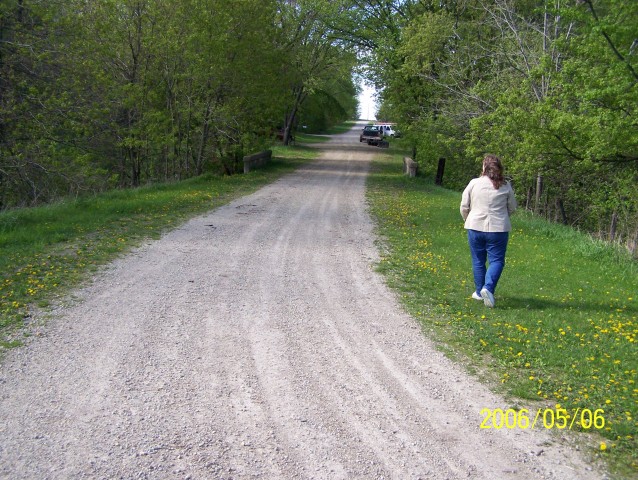
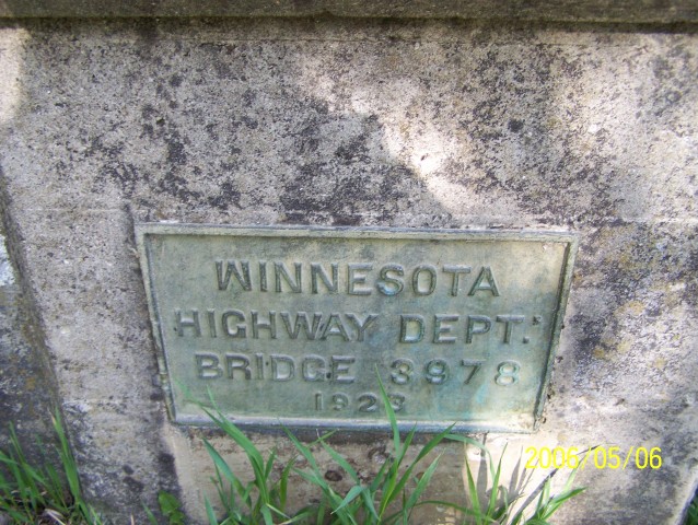
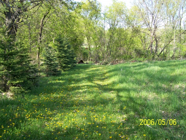
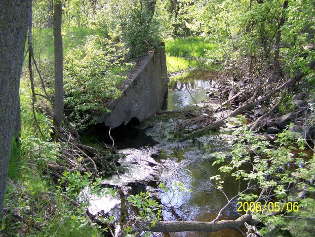
Today, the old highway remains gravel, just as it was back in 1924.  Bridge #3978, a 20 foot concrete slab structure constructed in 1923 by the Department of Highways over Chub Creek, still survives today. The old road also passes by an historic church and through the unincorporated town of Hazelwood. It is now accessible at both ends via Rice County Road 46, which now occupies the old two-lane alignment of U.S. 65.


