Welcome!
This page is dedicated to rediscovering the history of Minnesota's highways. If this is your first time here, I suggest taking a look at the site information page for some background on the methods and sources I use to do my research, and my reasons for undertaking this project. For some basic information on Minnesota's Trunk Highway System, check out the Minnesota Highway Primer.
Newest Articles
![]()
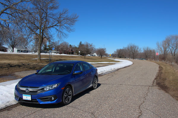
![]() Lilac Park (Old St Louis Park Roadside Park) - September 13, 2015
Lilac Park (Old St Louis Park Roadside Park) - September 13, 2015
More Articles...
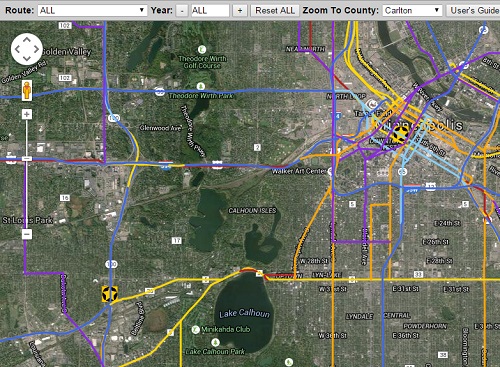
Featured Interactive Map:
Trunk Highways of Hennepin County
Explore the history of the trunk highways within Hennepin County. View all historic roads, or limit by year and/or route!
Recent Photos
Featured Route

Pretty much everything you'd ever want to know about Minnesota's most famous highway!
Site Sections
Articles - One-off articles on various subjects, including historic alignment tours, roadside structures, and bridges.
Route Guides - Guides focused on a specific route in Minnesota, including overviews, interactive maps, photos, and collections of highway tours.
Maps - A guide to the history of Minnesota's official highway maps. Includes an overview of the evolution of the maps from 1923 to today.
Blog - Site news and other goings-on.

Comments? Corrections? Questions?: Email Me At: andrew@deadpioneer.com
All content © Andrew Munsch