The Preservation Alliance of Minnesota recently posted about the ongoing restoration of the Burns Avenue overlook in St Paul using a photo from an article here on the site! Check out their post here.
Tag: U.S. 10
Old Highways Between Hawley and Audubon
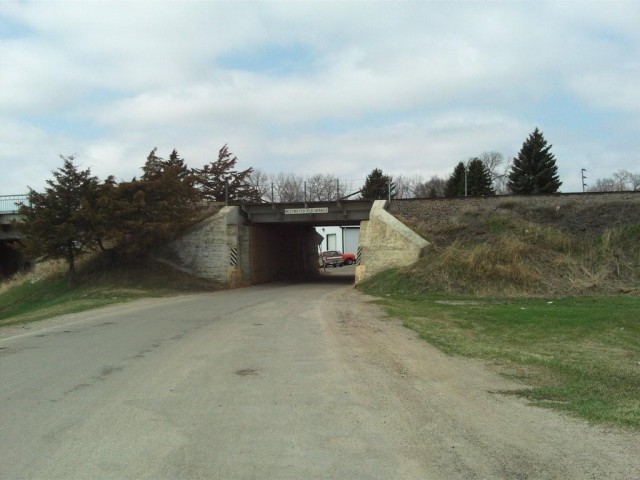
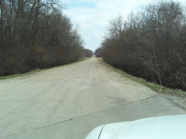
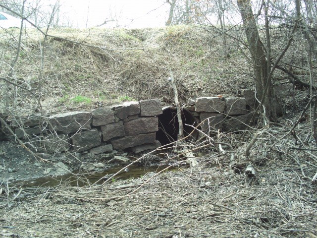
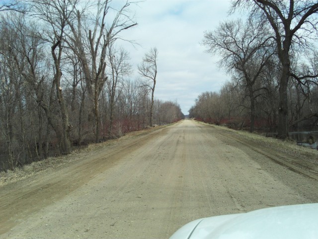
Paul R has sent in a set of great photos of some old alignments along what is now U.S. 10 in northern Minnesota between the towns of Hawley and Audubon.
First a little background. The road between Detroit Lakes and Moorhead was still gravel back in 1921 when it was added to the trunk highway system as part of Constitutional Route 2. Prior to that it had been marked as three motor trails: The Minnesota Scenic Highway, The Duluth-Fargo Highway, and the Mississippi River Scenic Highway. In late 1926 the road also became part of U.S. 10N (U.S. 10 originally had two branches between St. Cloud and Fargo, a northern one along today’s familiar route, and a southern one along what is now I-94).Â
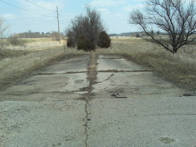
Between 1927 and 1929 the old gravel road between Moorhead and Detroit Lakes was replaced by a 20-foot wide concrete highway. In 1934 both U.S. 10N and Constitutional Route 2 were retired, and replaced by plain old U.S. 10. The first concrete road between Hawley and Audubon served until 1957, when it was replaced by the construction of the current divided highway.
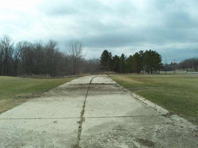
The map below shows the alignment of the original gravel road in purple, and the first paved road where it deviated from the modern highway in red. Nearly all of the original gravel road still survives today. On the other hand, only two short sections of the early concrete highway have survived, and are now used as service drives.
View Deadpioneer’s Historic Minnesota Highways Blog Map in a larger map
The old gravel road ran east from Hawley along Junction Avenue, eventually merging onto what is now Clay County Road 115, which becomes Becker County Road 102 at the county line. The old road then continued east to Lake Park, turned south through town, and turned east again onto a road that passed south of Bower Lake. Sadly, several sections of the road south and east of Lake Park have been lost to time.
We begin our journey in the town of Hawley (to follow along, you can zoom into map above, or open it in a new window).
