
Home >> Projects >> U.S. 61 >> Modern Highway Photo Galleries
 Modern Highway Photos: I-494 to Red Wing
March, 2007 (Page 4)
>> Jump to Page: 1 | 2 | 3 | 4 | 5 | 6

Leaving Hastings on southbound U.S. 61. The two-lane section through southeastern
Dakota County has barely changed since it was first paved in the early 1930's.
The first concrete pavement, completed in 1931, wasn't paved over until 1968.
The road was widened and modernized to its current width in 1988.
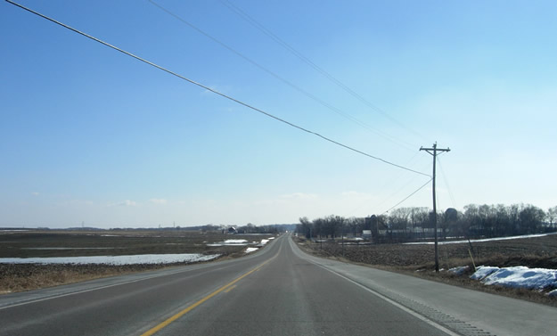
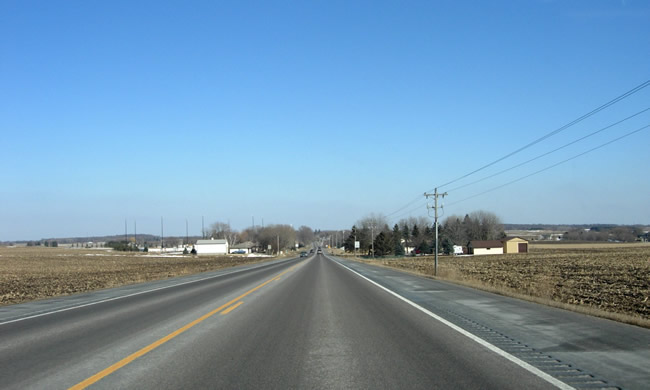
Another view to the south, probably in Marshan Township. The stretch of U.S.
61 between Hastings and the junction with Highway 50 has the route's lowest
traffic counts between St. Paul and La Crosse, as most traffic between Red
Wing and Hastings uses the shorter route via Highway 316. U.S. 61 now provides
part of the primary route between Hastings and Cannon Falls.

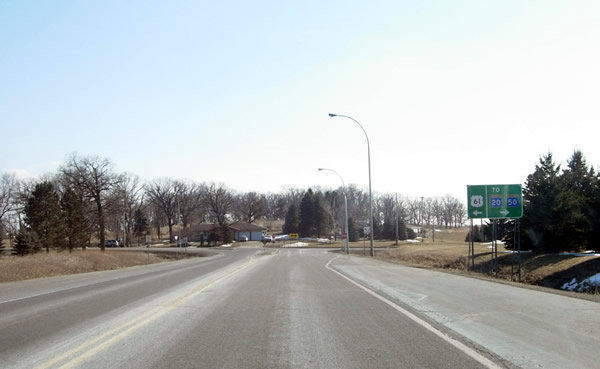
Approaching the junction with State Highways 20 and 50 in Douglas Township.
The current junction's configuration dates back to 1984. U.S. is forced to
make a hard turn to the east here towards Miesville and Red Wing.
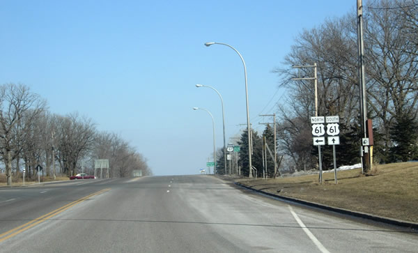
More signage at the junction. Note the "TO" above the marker for
Highway 20. U.S. 61 no longer technically has a junction with Highway 20;
the connection is made via a very short jog on Highway 50.

Another view of the junction, looking east from Highway 50.
Eastbound, where Highway 50 seamlessly ends and merges onto U.S. 61. Note
the U.S. route markers indicating the right-angle turn the route makes here.
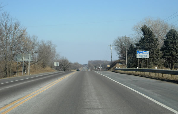
Eastbound on U.S. 61 between Highway 50 and Miesville.
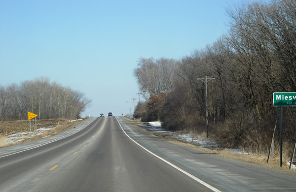
E ntering the city limits of Miesville (I hit the shutter a bit late).
Approaching Miesville.

A U.S. 61 route marker in Miesville.
>> Next Page
>> Page Index
- Page 1 - New Freeway and Interchange with I-494 at Newport
- Page 2 - Cottage Grove and the Jct. with State Hwy. 95
- Page 3 - Jct. with U.S. 10 to the North Jct. with Hwy. 316 at Hastings
- Page 4 - Southern Dakota County
- Page 5 - Eastern Goodhue County and the Cannon River Valley
- Page 6 - Red Wing
>> Back to the Photo Gallery Index
>> back to top