

 Modern U.S. 65 - Iowa State Line to Albert Lea
Modern U.S. 65 - Iowa State Line to Albert Lea
Part Of:
1. 2. 3.
- U.S. Highway 65 since being built.
- State Trunk Highway 1 officially when built, marked as such until May 4, 1934, when the old state route was retired, and U.S. 65 became the official designation .
- Known as the Jefferson Highway until a later unknown date.
Historic Context: First paved highway between Albert Lea, MN and Mason City IA, constructed as part of Minnesota's original trunk highway system.
Length: 9.8 miles
In Use: Completed in 1930.
Construction: Built as the permanent location of Trunk Highway 1, 1929-1930. Built to follow the Chicago, Rock Island, and Pacific Railroad. Originally paved with concrete, 20 feet wide.
Bypassed: Still in the trunk highway system but superceded as a primary route by the completion of I-35 south of Albert Lea in 1972.
Status: Section at jct with I-35 south of Albert Lea expanded into a 4-lane divided highway in 1970-72. Road south of I-35 rebuilt and widened to modern standards over the original pavement, and bridge over the Shell Rock River replaced in the early 1980's, (work completed in 1983). Repaved in 2013.
Last Visited: June 2013.
Tour Navigation
Tour Map
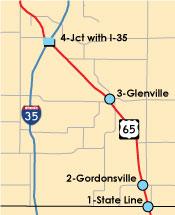
Click on the blue symbols to jump to a point
Jump to...
Related Articles
U.S. 65 between the Iowa State Line and Albert Lea is a remnant of the old U.S. Highway System that preceded the construction of Interstate 35. It was one of two primary highways leading north from Des Moines, Iowa to Albert Lea (the other was U.S. 69), and was also the first paved highway between Albert Lea and Mason City. Although the road has since been widened, it is still located in the same location as when it was constructed in 1929/30, and remains a classic two-lane rural highway.
Overview
Since U.S. 65 is still in the trunk highway system, driving the old route is simple. The road had just received a brand new layer of asphalt pavement when I last visited during the 2013 construction season.
The following tour is presented in the northbound direction to remain consistent with other tours on the site - however, the best way to drive the route is southbound, as from that direction you can access the road directly from Interstate 35. To duplicate the presented northbound tour you could either drive the road southbound and turn around at the state line, or take the Northwood / State Hwy 105 exit on I-35 four miles south of the state line, and then follow Highway 105 east to U.S. 65, and then follow U.S. 65 north into Minnesota.
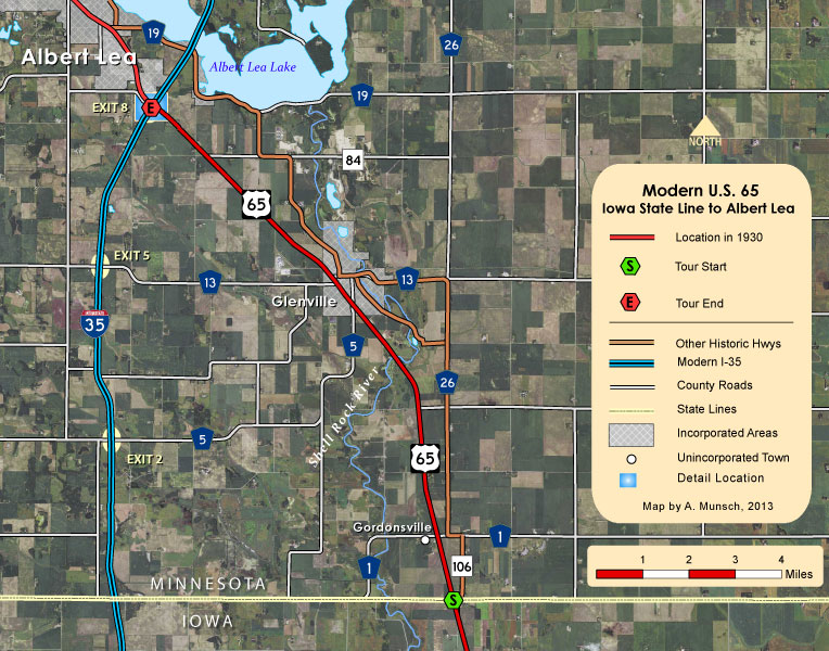
1: State Line
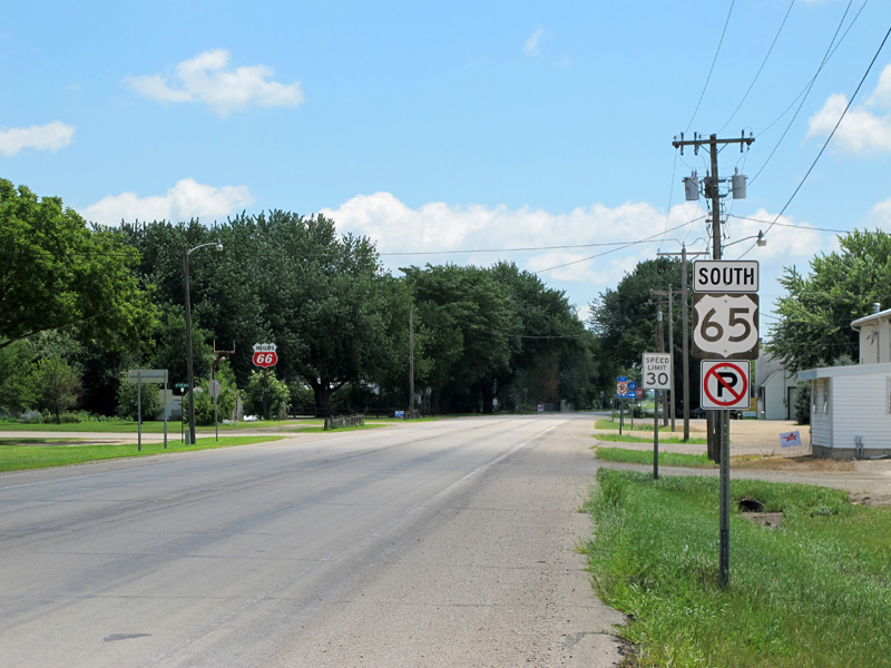
Our tour starts at the Iowa State Line, about five and a half miles east of where I-35 now crosses the border. The border is demarcated by two historic markers - a classic rustic state line marker built in 1941, and a smaller marker commemorating the completion of the highway in 1930 as part of the Jefferson Highway. In addition, the intersection with Freeborn County Road 106 at the border is the south entrance to the Old Jefferson Highway to Albert Lea.
View to the north at the state line, showing U.S. 65 on the left, with the historic markers on the right.
![]() Turn off here to check out the markers
Turn off here to check out the markers
![]() Turn right here to drive the Old Jefferson Highway
Turn right here to drive the Old Jefferson Highway
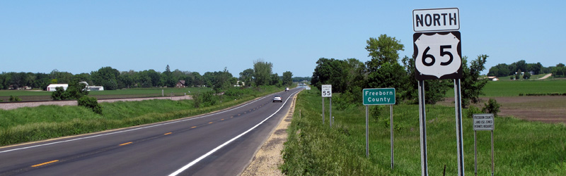
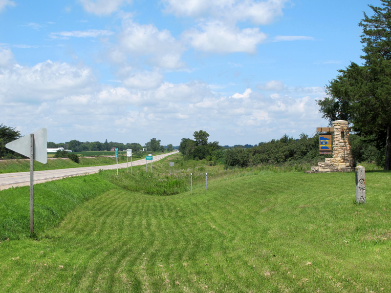
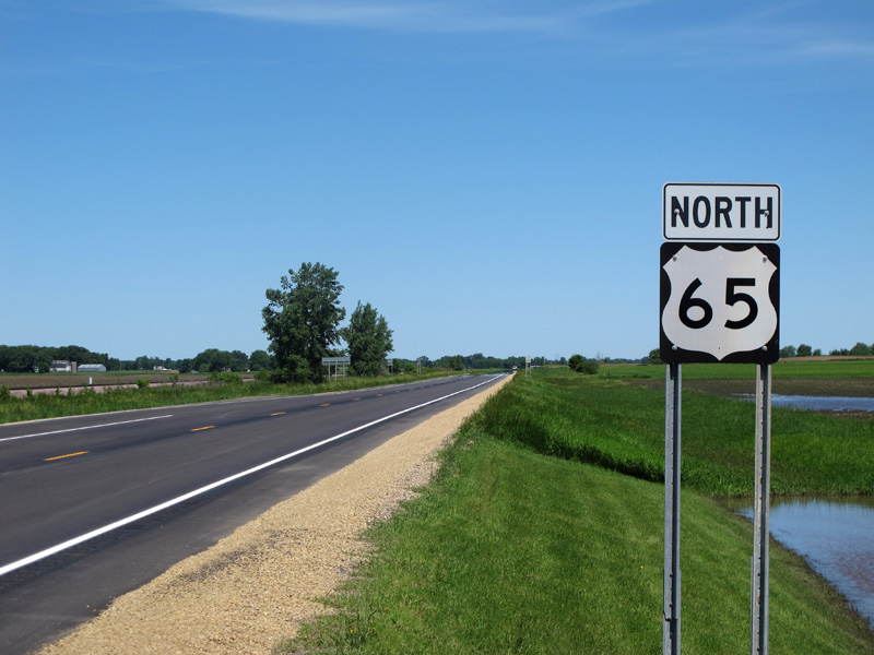
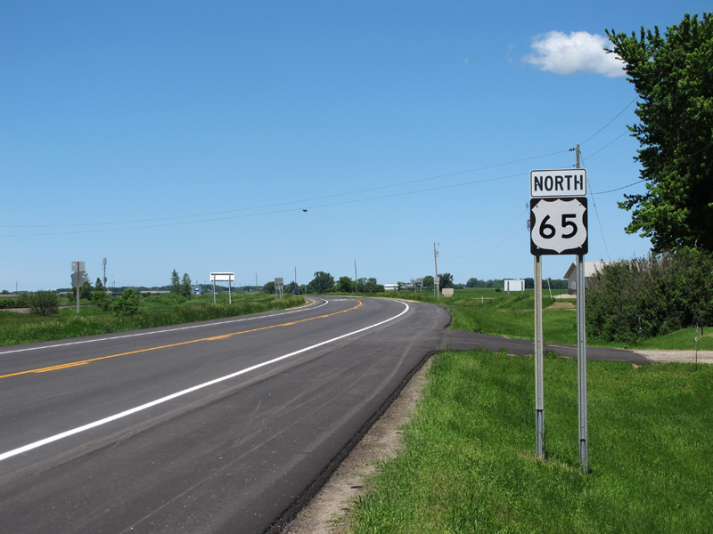
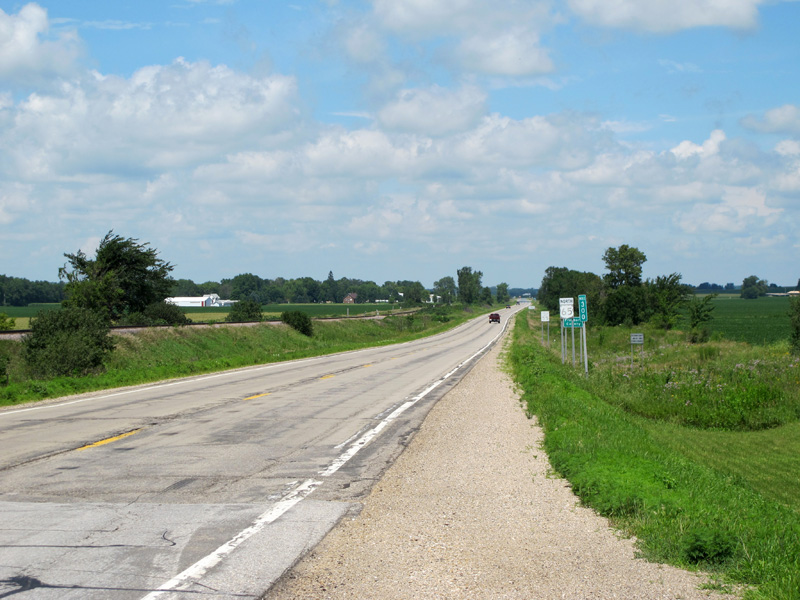
An alternate view to the north down U.S. 65, just past the state line markers, looking north towards Gordonsville (visible on the left). Note the "Freeborn County" sign ahead.
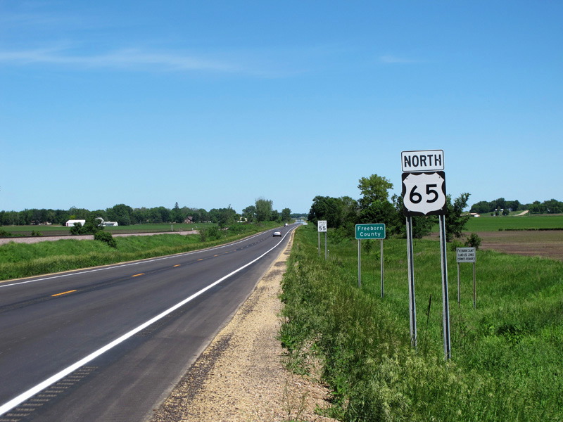
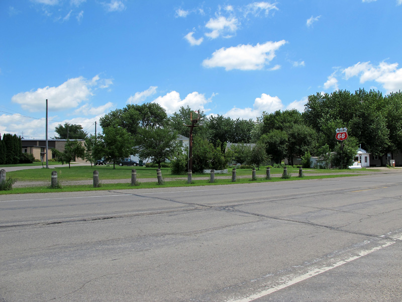
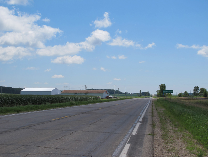
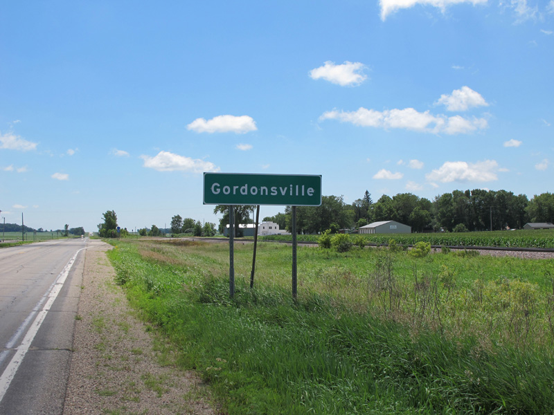
2: Gordonsville
U.S. 65 passes to the east of the small unincorporated town of Gordonsville a little over a mile north of the state line at the junction with County Road 1.
Gordonsville sign, approaching the junction with County Road 1.
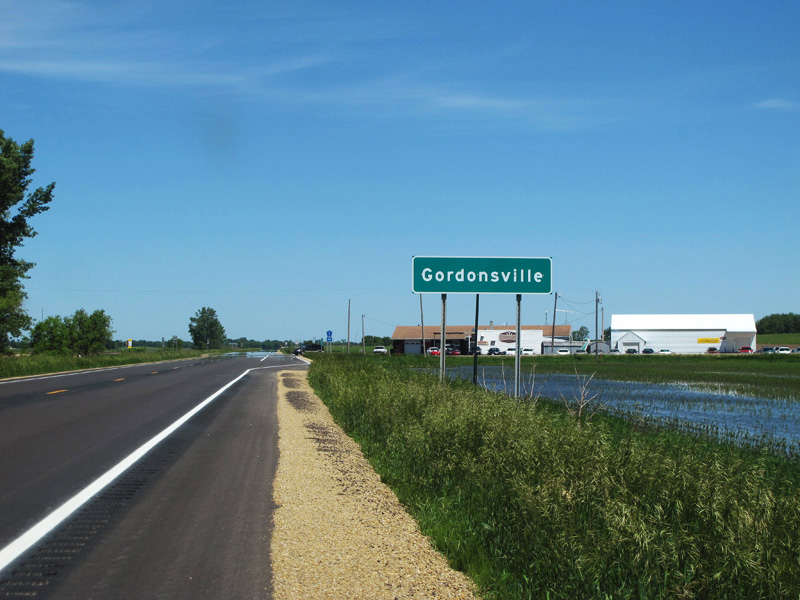
Leaving Gordonsville.
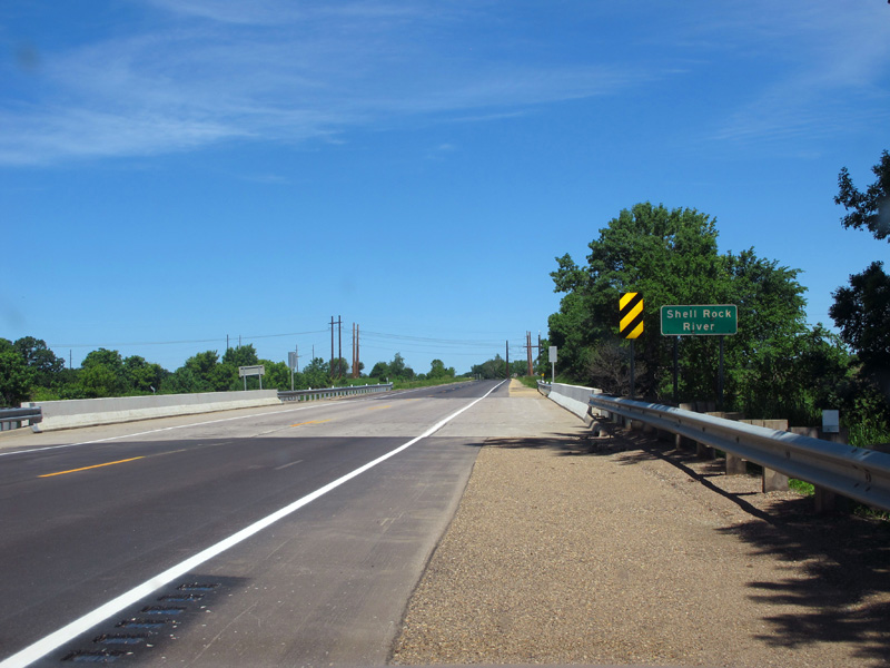
Modern bridge over the Shell Rock River between Gordonsville and Glenville.
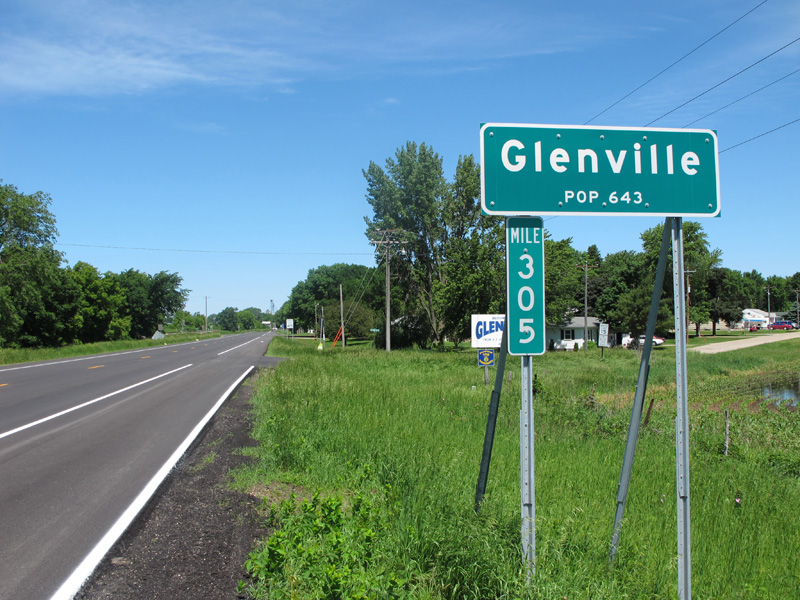
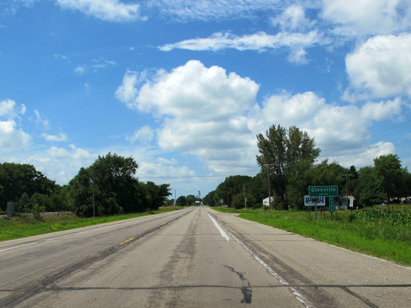
3: Glenville
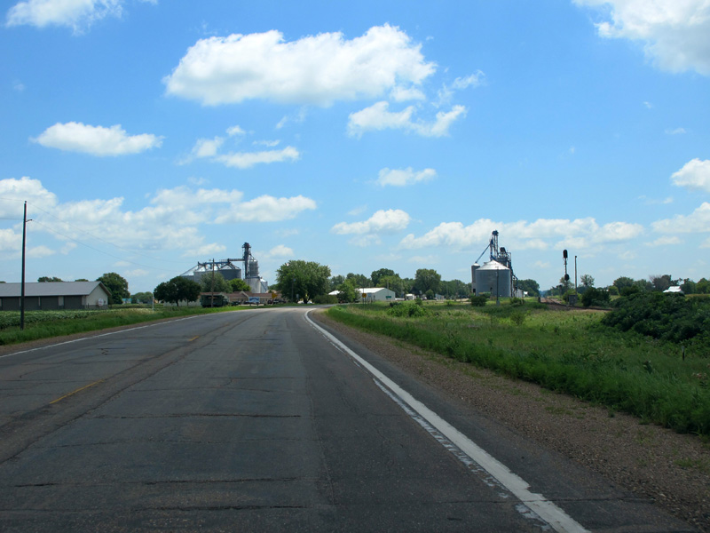
Glenville lies about 4 miles north from Gordonsville. U.S. 65 passes along the town's west side.
Entering the south side of Glenville.
Looking north just before the intersection with 3rd Street and 3rd Avenue.
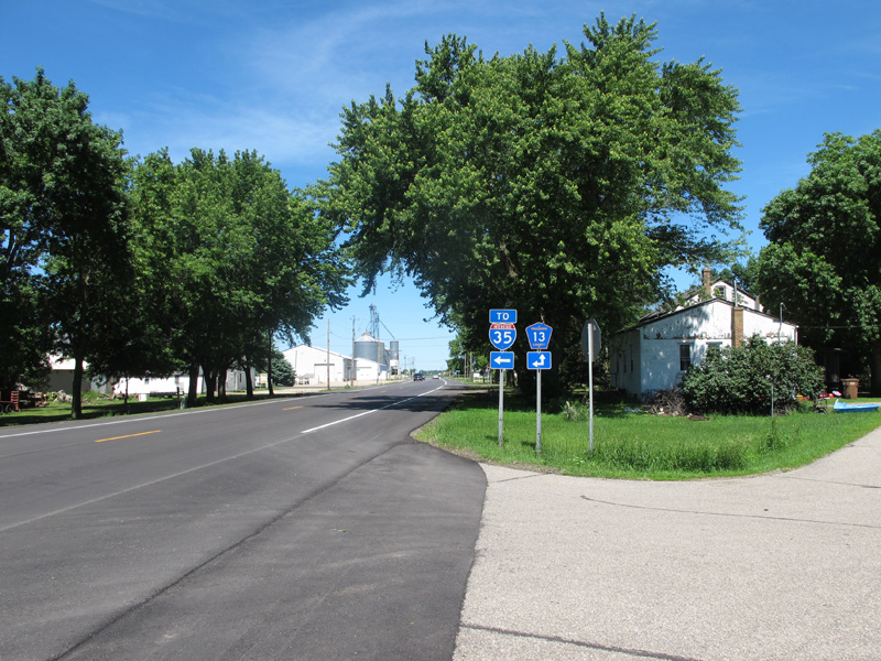
Junction signage at the intersection with 3rd Street and 3rd Avenue for County Road 13, which provides Glenville's primary connection with I-35.
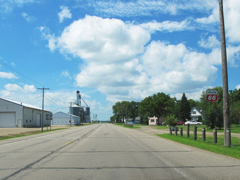
Passing by a now defunct Phillips 66 station a little further into Glenville between the two junctions with County Road 13. The sign has since been taken down (or blown down by storms, I'm not sure which).
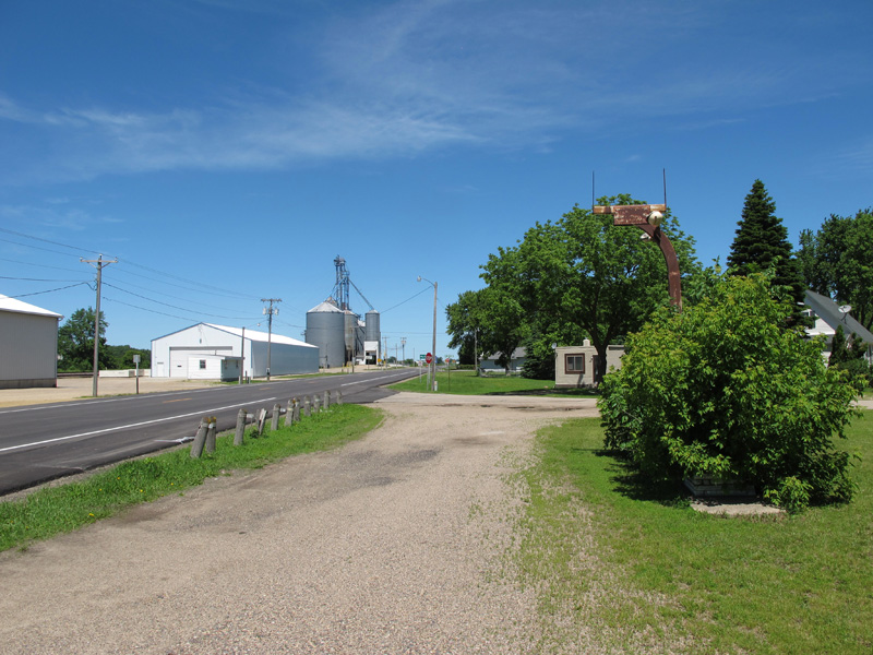
Another rusted remnant along the east side of U.S. 65.
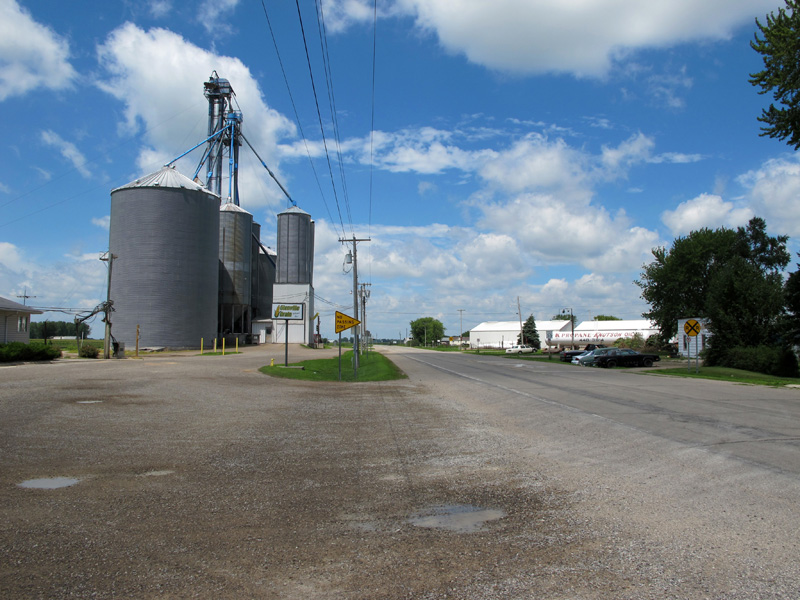
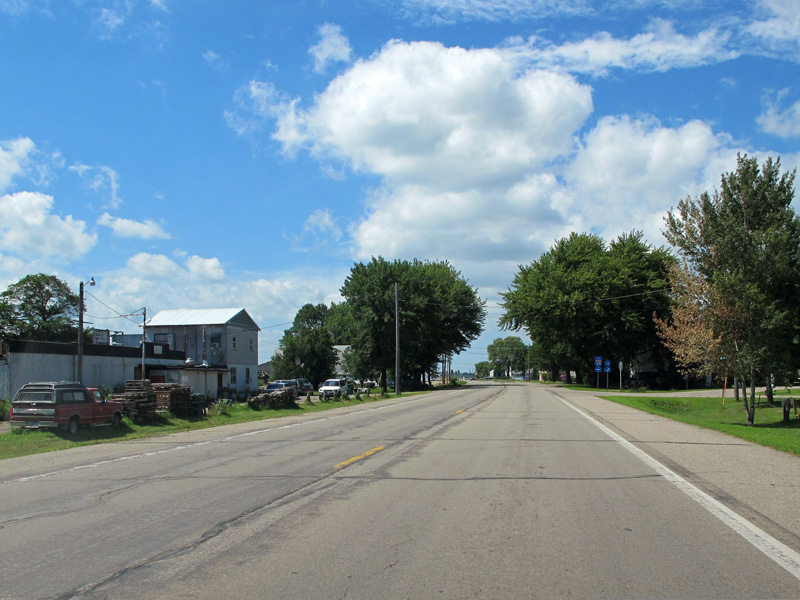
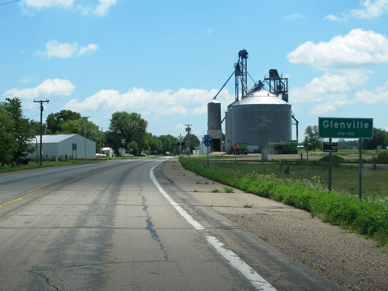
View of one of Glenville's grain elevators at the point where Main Street (not visible on the right) intersects U.S. 65. Note the sign on the right side of the highway warning of the at-grade rail crossing ahead.
Leaving Glenville.
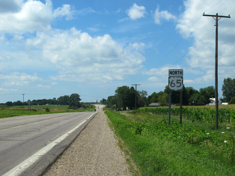
4: Junction with I-35 at Albert Lea
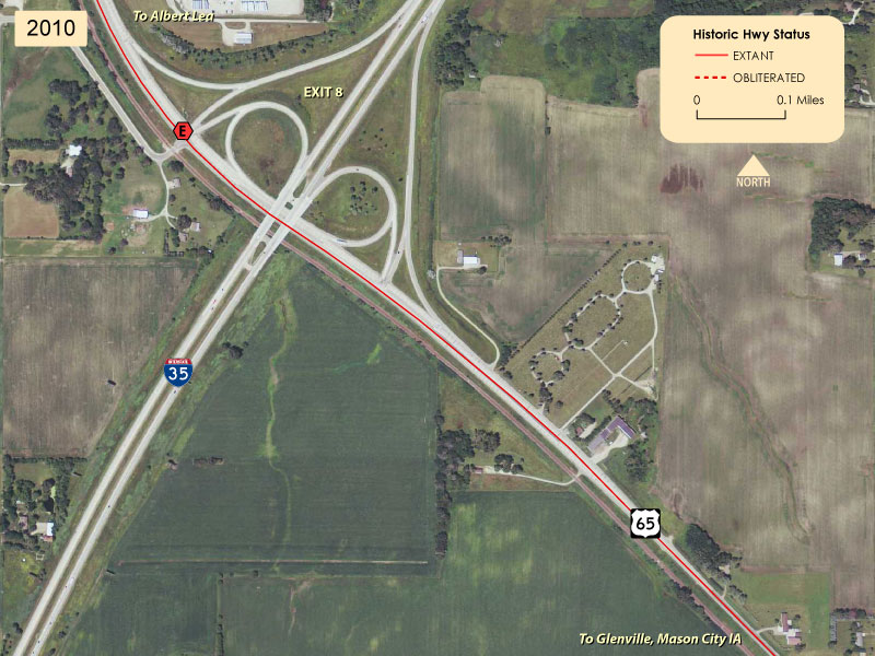
U.S. 65 meets Interstate 35 on the south side of Albert Lea after passing through 3.5 more miles of farmland. Just before the interchange the two-lane road expands into a four-lane divided highway, which extends north into town. Before the construction of the interstate the highway here was still two lanes, and the surrounding area was still rural (mouse over the image above to see this location in 1938).
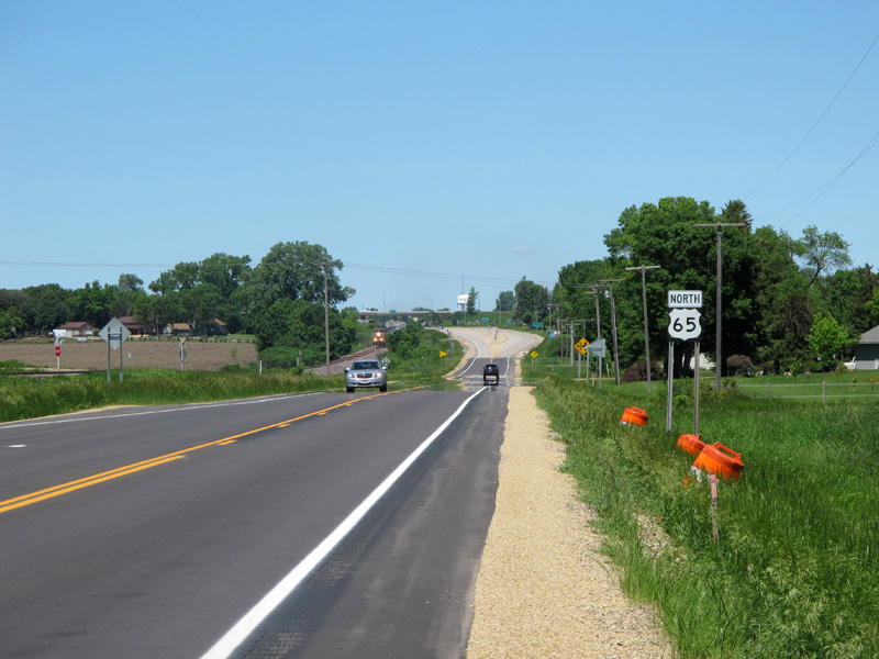
Northbound on U.S. 65 just before it expands to 4-lanes at the junction with I-35 south of Albert Lea (you can see the start of the divided highway in the distance. Also note the approaching train.
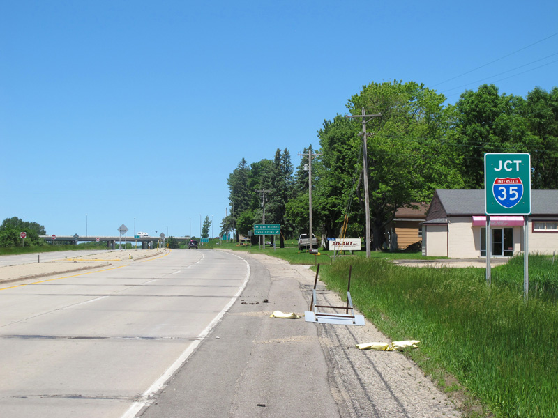
Junction signage for the interchange with I-35.
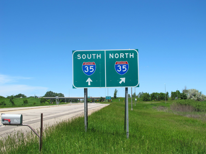
More junction signage.
Southbound Photos
Glenville
Glenville as seen from U.S. 65 southbound.
Entering Glenville on U.S. 65 southbound. Note the junction marker for County Road 13.
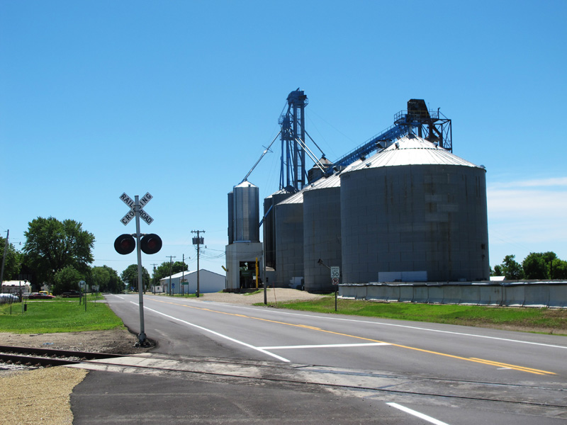
Closer view of the grain elevators and at-grade rail crossing.
Southbound U.S. 65 marker in Glenville. Note the Phillips 66 service station on the left side of the highway ahead.
Ruined sign and service drive on the east side of U.S. 65 in Glenville. Also note the old-style barrier posts.
Gordonsville
Approaching Gordonsville on U.S. 65 southbound.
Sign for Gordonsville on U.S. 65. The town can be seen in the distance behind the sign.
Old Northbound Photos
These photos were taken in July, 2010, but were replaced by better examples in June 2013.
Looking north from the state line.
Entering Glenville.
Approaching the junction with I-35 south of Albert Lea.
>> Back to Historic Highway Tours
Sources
- Minnesota Highway Department. Construction Plan For Trunk Highway No. 65-1 Between So. State Line and Albert Lea (State Proj. No. 65-1-53). Approved 1929.
- Minnesota Highway Department. Construction Project Log Record: Control Section 2404.
- Minnesota Highway Department. Right-of-Way Map: Freeborn County, Between S. State Line and Albert Lea. Index # 0-25.