
 Burns Avenue Overlook
Burns Avenue Overlook
Located In: St. Paul, Ramsey County.
Constructed: ca 1950.
National Register: Eligible

The Burns Avenue overlook is located just south of I-94 on the east side of U.S. 61/U.S. 10 in St. Paul. It was constructed around 1950 by the Minnesota Department of Highways. It is situated on a hill overlooking the highway and the Mississippi River Valley.
The overlook consists of a parking area with a rustic stone wall along its southeast edge. It was closed on August 31, 2009 for rehabilitation (to be completed in December).
Info Source: MnDOT Historic Roadside Development Structures Inventory
Photos - Taken in August, 2009.
The following photos were taken just a few weeks before restoration work began. The wall was in very poor condition and covered with graffiti.
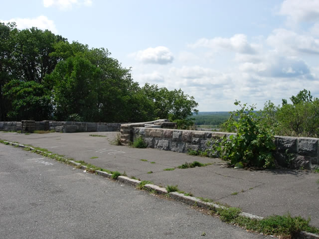
The stone wall, looking southwest. Also note the granite curb, which is apparently original.
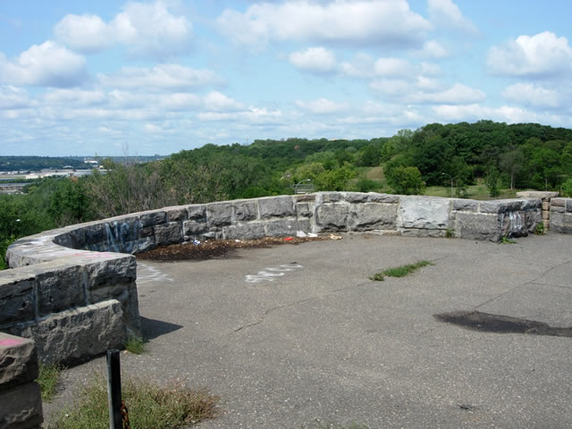
A closer view of the main viewing bay, looking northwest.
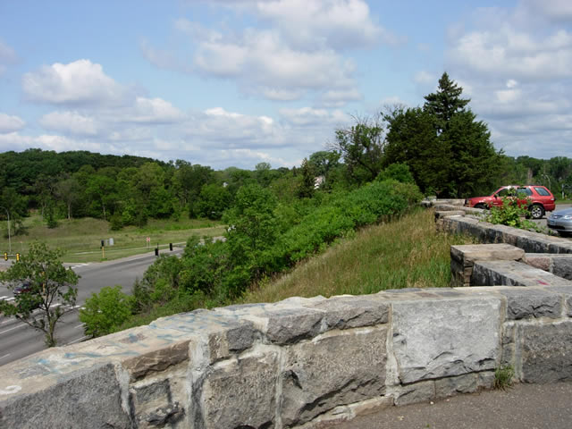
Looking north from the viewing bay, with the intersection of U.S. 61/U.S. 10 with Warner Road visible on the left.