 Historic U.S. Highway 65: Old Road at Clarks Grove
Old Road at Clarks Grove
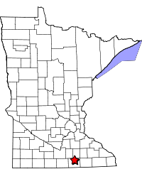
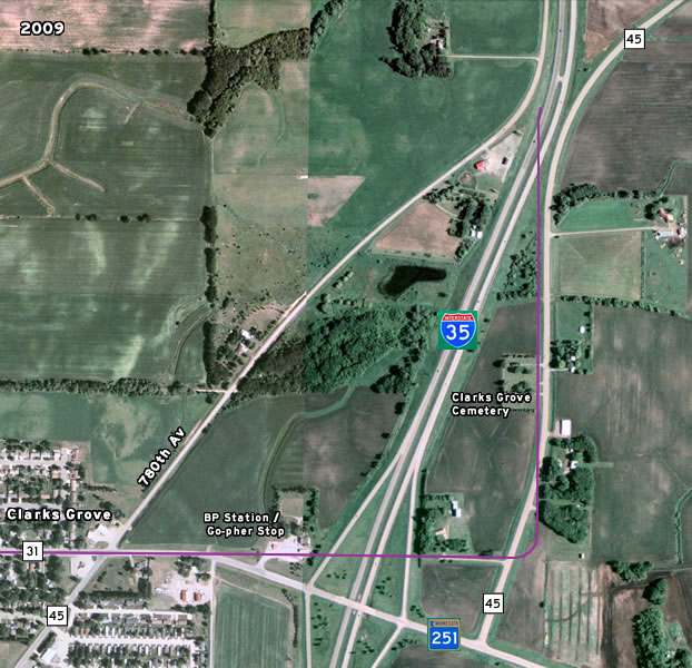
Located: In and adjacent to the town of Clarks Grove in north-central Freeborn County. On Independence Ave (Co Rd 24) and Main Street (Co Rd 31) in Clarks Grove; along County Road 45 between TH 251 and the curve away from I-35 in Bath Township.
Historic Context: Temporary pre-development trunk highway route.
Length: 2.2 miles
Constructed: Road graded as a county job in 1919.
Also On:
Bypassed: 1928/29 by construction of the first modern highway (now County Road 45)
Status: 0.9 miles rebuilt on same alignment in Clarks Grove as parts of County Roads 24 and 31. 0.7 miles along modern County Road 45 east of I-35 realigned in same general corridor. The rest has been lost.
Access: Via exit 18 on I-35, or from County Road 45 at Clarks Grove.
More U.S. 65 Articles
North >> Coming Soon!!
South >> Old 65 Between Albert Lea and Geneva
U.S. 65's original path at Clarks Grove in north-central Freeborn County brought it directly through the center of town on its way between Albert Lea and the Twin Cities. The route was originally a county road, graded as part of the State Road program in 1919 and taken over as the temporary route of State Highway 1 in 1921.
The old road remained in use until the first modern highway was opened in 1929. The new highway was designed to bypass Clarks Grove to the east and eliminate two right-angle turns on the old road, shortening the route by over a half-mile.
In the years since, the landscape around Clarks Grove has changed dramatically, mostly because of the construction of Interstate 35 in the late 1960's and early 70's. Because of this, none of the old road is in its original condition, and most has been destroyed. However, a few important historic buildings in downtown Clarks Grove and a cemetery remain as landmarks from the early days.

Photo Tour
Taken by the author in July, 2010 and August, 2011.
The tour starts at the south side of Clarks Grove, where the south end of
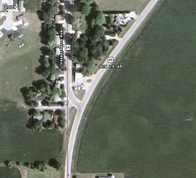
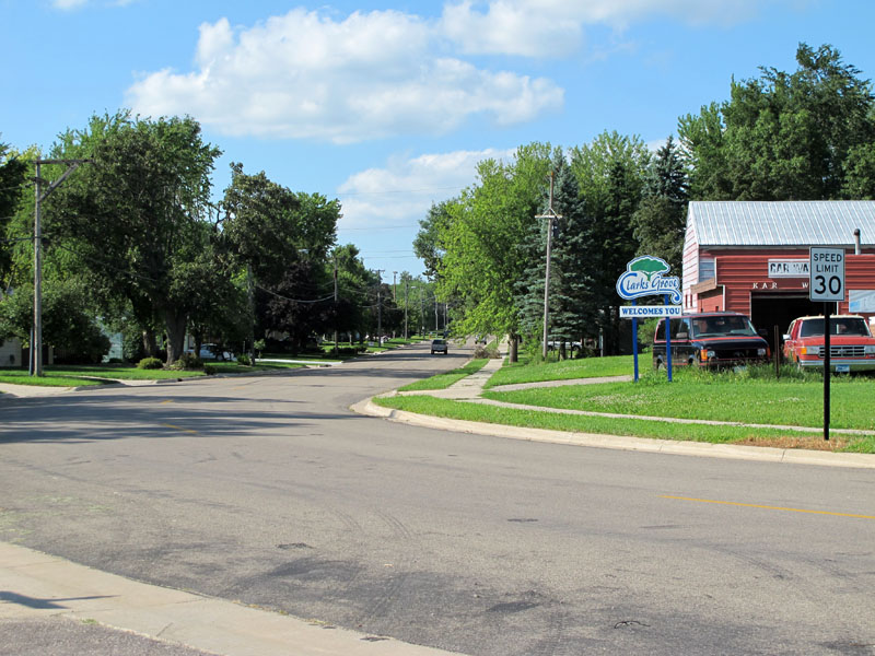
the old road has been reconfigured to meet County Road 45 (old U.S. 65) at a right-angle. When the road was originally bypassed, it ran into the highway at a very shallow angle (mouse over the image above to see how the area looked in 1938). A tiny section of the old connection has been repaved as a driveway.
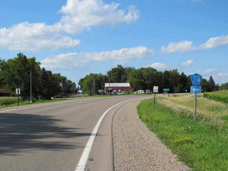
Northbound on County Road 45 (old U.S. 65) at the junction with County Road 24. The original road continued straight ahead onto the city street (Independence Avenue) on the left.
Looking north into Clarks Grove on Independence Avenue (Co Rd 24). This area was outside of town when this road was in use by U.S. 65. Clarks Grove has since expanded southward with the addition of new residential areas.
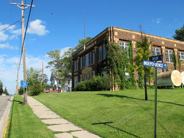
Looking north on Independence Ave at the intersection with Main Street in downtown Clarks Grove. Traffic on U.S. 65 turned right at the intersection ahead.

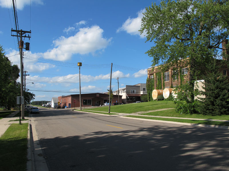
Looking east down Main Street at Independence Avenue. The brick building on the right is the old Clarks Grove creamery, listed on the National Register of Historic Places. It was built in 1927 as the third facility for Minnesota's oldest cooperative creamery.
(Outside link to the Minnesota Historical Society Listing)

A bit further up Main Street (Co Rd 31), looking east. Note the tree damage caused by the storm that spawned Minnesota's largest ever tornado outbreak on June 17, 2010.
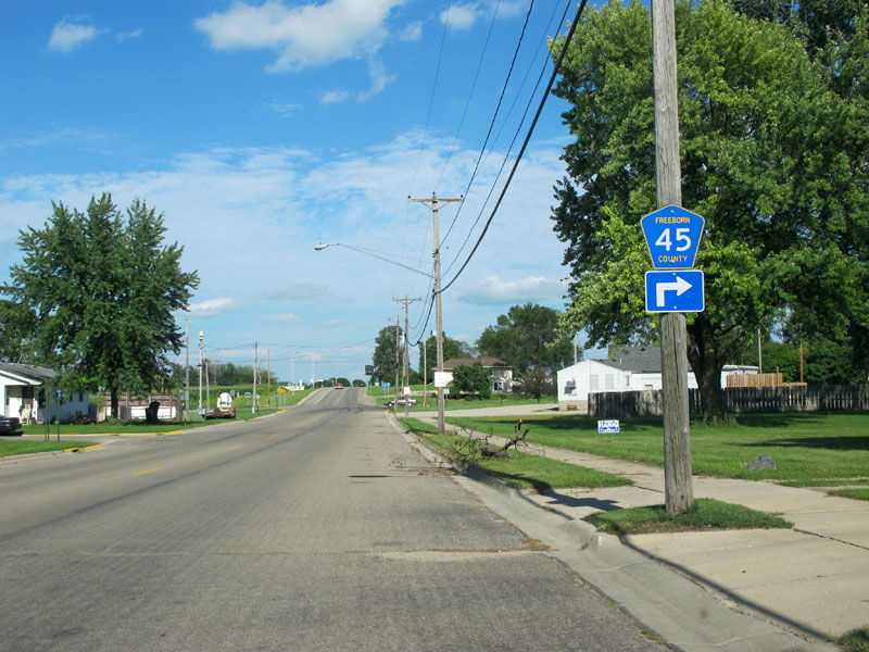
Looking east on Main Street, approaching the junction with County Road 45 (old U.S. 65).
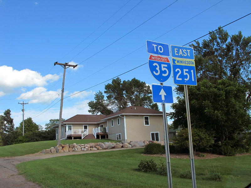
After crossing County Road 45, Main Street turns into State Highway 251 and approaches the interchange with I-35.
East of County Road 45, the landscape has been heavily modified by the construction of Interstate 35. The original road has essentially been erased, although part of a farm-driveway and County Road 45 are built along the same general path (mouse over the image above to see how the area looked in 1938).
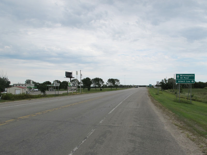
Looking east on County Road 45 / State Hwy 251, approaching the Clarks Grove exit on I-35. The old road continued into the left side of the picture here, passing directly through the gas pumps of the BP station.
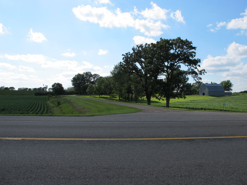
On the other side of I-35, looking west from County Road 45. A farm driveway here has been built along the path of the old road,.

The Clarks Grove Cemetery, now wedged between I-35 and County Road 45. The old road passed through the lawn where the cemetery sign stands now.

Looking north on County Road 45. The old road ran parallel and just to the left of the current road. I-35 can be seen in the distance.
Back to >> U.S. 65 Photo-Articles
Sources:
- Construction Project Log Records: Control Sections 2405 and 2480.
- Construction Plans: State Project 65=1-51, approved 9-17-1927.
- Construction Plans: State Projects 2405-09, 2408-07, 2480-10, approved 1/26/1968.