
 Historic U.S. 61: Old Two-Lane Alignment, Wabasha/Kellogg Area
Old Two-Lane Alignment, Wabasha/Kellogg Area
Located In: City of Wabasha, City of Kellogg, Greenfield Township, Watopa Township, Wabasha County.
Bypassed: 1969/70
Length: 9.85 miles
Also Marked As:
 Until 1934
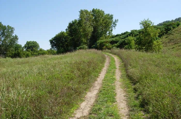
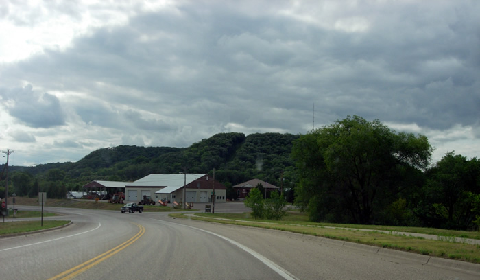
U.S. 61's old two-lane alignment runs parallel and just to the east of the modern highway for nearly ten miles south from Wabasha to a couple of miles south of Kellogg. Sadly, the road is no longer continuously drivable due to the removal of several bridges. However, there are still several stretches where the original concrete pavement from the 1920's is fully intact. The road north of Kellogg is now part of Wabasha County Road 30.
Construction
The road south of Pierce Avenue in Wabasha was originally constructed between 1923 and 1926 and paved with concrete, 18 feet wide.
Hiawatha Drive west of Pierce in Wabasha was built between 1930 and 1931 as part of the replacement of the old road between Wabasha and Lake City (see article here). The final concrete pavement was poured in 1936.
The only section repaved and widened before the road was bypassed was between the Zumbro River and Pierce Avenue in Wabasha in 1964.
Detailed Construction Timeline
- 1923 - Grading, construction of Zumbro River Bridge and railroad overpass, from Winona Avenue in Kellogg to Midland Junction (modern southern end of Co Rd 30).
- 1924 - Grading, south from downtown Kellogg to Minneiska.
- 1925 - Paving - 18 feet of concrete, Kellogg south to Minneiska.
- 1926 - Paving, 18 feet of concrete, Kellogg to Wabasha.
- 1930 - Grading, on Hiawatha Drive in Wabasha, west from Gambia Avenue towards Lake City.
- 1931 - Grading of Hiawatha Drive between Gambia Avenue and Pierce Avenue in Wabasha.
- 1932 - Temporary paving (oil treatment) of Hiawatha Drive.
- 1936 - Concrete paving of Hiawatha Drive (20 feet of concrete).
- 1964 - Repaving of section north from the Zumbro River to Pierce Avenue in Wabasha, widened to 24 feet of asphalt pavement over the old concrete pavement.
Bypass History
The old two-lane road was replaced by the the current Wabasha / Kellogg bypass between 1969 and 1970. The new road was only completed as far north as Gorman Creek (just south of Kellogg) in 1969, and a temporary connection to the old road had to be constructed. The rest of the road was bypassed the following year.
Current Status
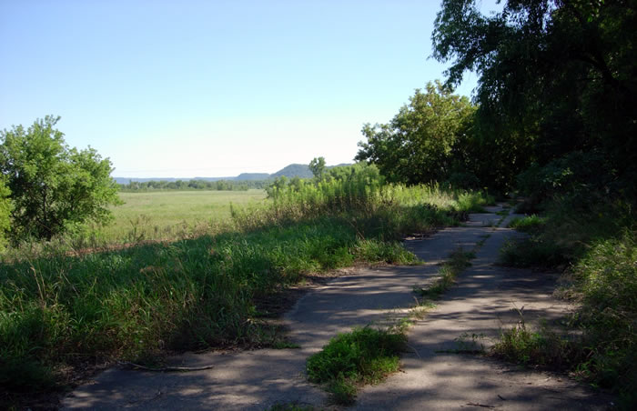
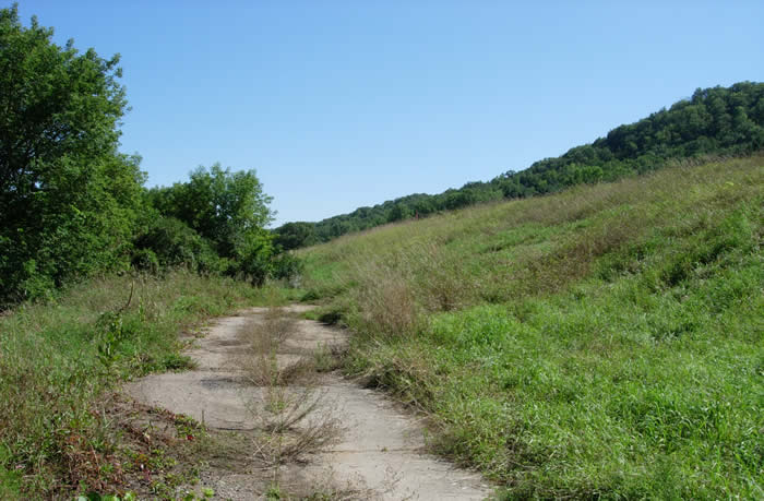
Today, the old road's condition varies quite a bit along its length. In addition to the removal of three bridges, sections at both the north and south ends have been disconnected from the rest of the road, making a continuous drive impossible. Long stretches of the original concrete pavement remain in use south of Kellogg, and for a short length at the west end in Wabasha. The rest of the road has long since been repaved. The old alignment is occupied in part by County Road 30 north from Midland Junction through Wabasha, and by County Roads 18 and 84 in and around Kellogg. South of Kellogg, the old road is now marked as 161'st Avenue.
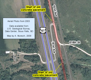
The southern-most access point to the old highway is about two miles south of Kellogg at 161st Avenue (see inset 1). 161st Avenue descends a steep embankment from the modern expressway, acting as a local access road. At the bottom of the hill the road splits, with 161st Avenue continuing north along a piece of the original pavement, while 618th Street heads south along a short gravel road towards a couple of farms. The gravel section was built in 1969 on the site of the old highway to maintain local access. The southern most stretch of the original pavement is hidden at the top of a rutted dirt trail that leads south from where 618th Street crosses the railroad tracks. This stretch continues south into the woods, finally dead-ending where it encounters the embankment of the modern grade (see inset 2). |
Inset 2: South End of Pavement
|

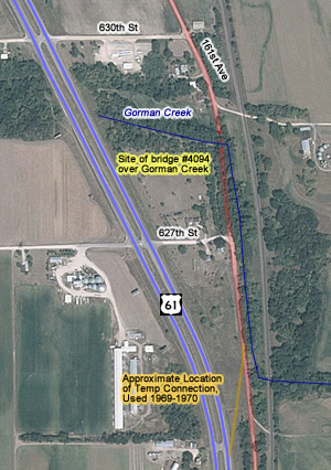
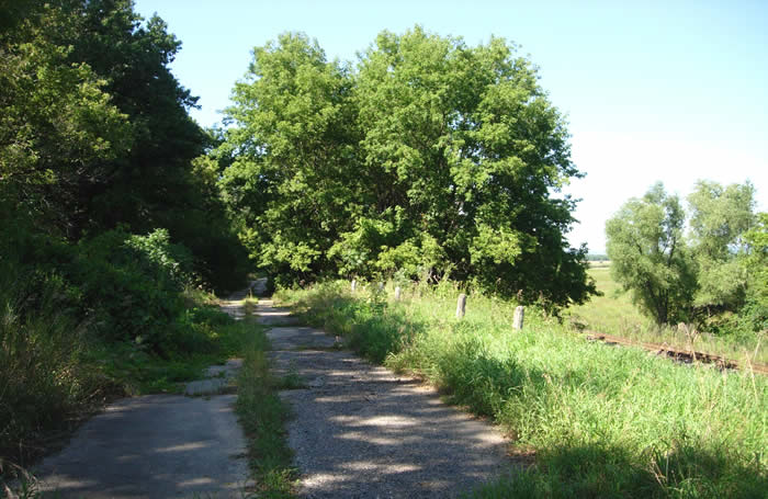
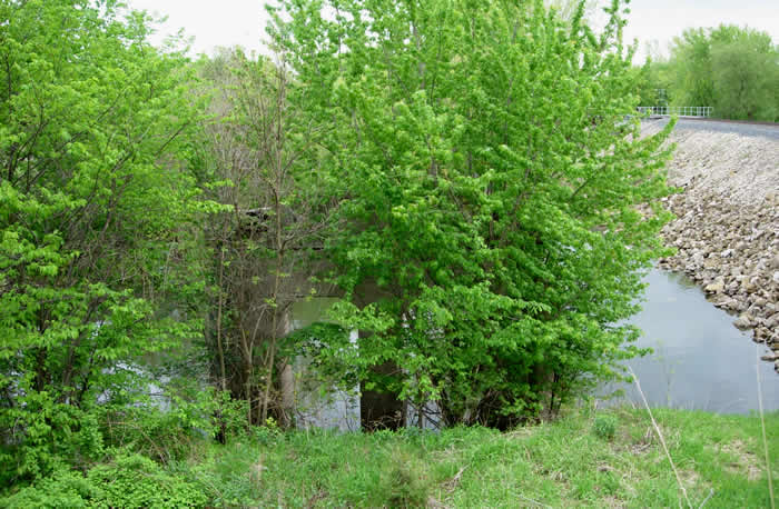
161st Avenue extends north from its connection to modern U.S. 61 until it dead-ends at Gorman Creek, where the historic bridge (#4094, constructed in 1924) has been removed (see inset 3). The original 18-foot concrete pavement is intact on this stretch, although the northern bit has been covered with a light seal coat. The road north of 627th Street on the south side of the creek has become overgrown, but is still walkable. As a side note, just south of 627th Street is the site of the temporary connection constructed in 1969 and only used for a year until the rest of the Kellogg bypass could be opened to traffic in 1970. The next section of the old highway north of the creek is accessible via a short jog using 627th Street, the modern highway, and 630th Street . The pavement extends south from 630th Street until dead-ending at Gorman Creek. It is now a local residential street.
|
Inset 3: Gorman Creek Bridge |
The old pavement continues north from 630th Street until it encounters County Road 84 just south of Kellogg (see inset 4). At this point the historic pavement gives way to the modern connection of County Road 84 with County Road 18, constructed on top of part of the old highway's path. The old road then continues north as County Road 18 into Kellogg. Historic Junction:
|
Inset 4: Junction of County Roads 18 and 84 |
 1938-1970
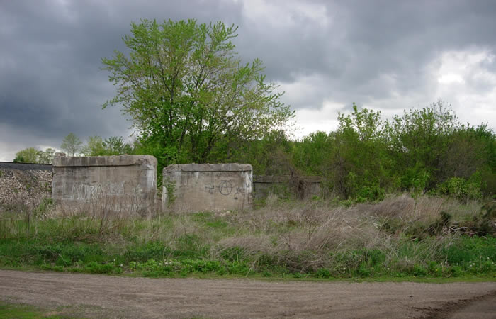
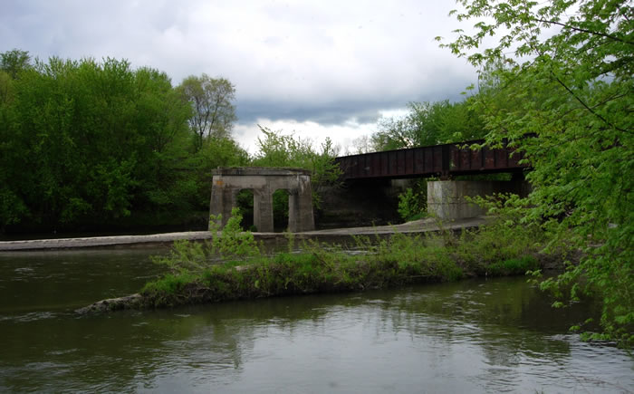
County Road 18 becomes Dodge Street as it enters the town of Kellogg, (Co 18 eventually turns off of Dodge Street at Belvedere Ave). Old 61 continues on Dodge Street as far north as Winona Avenue (see inset 5). At Winona Avenue, the old road veered to the northeast onto a steep ramp towards the overpass over the local railroad tracks (bridge #3886, constructed in 1923), creating a bizarre 5-way intersection. The railroad overpass is now gone, demolished at some point in the early 1990's. Its piers are still easily visible from Belter Road on the east side of town. Its demolition rendered a long stretch of the old road between the tracks and the Zumbro River inaccessible to vehicle traffic. The ramp at Winona Avenue is now blocked by a storage shed. Historic Junction:
|
Inset 5: Bridges at Kellogg |
 1926-1938
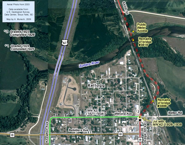
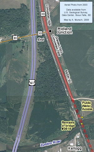
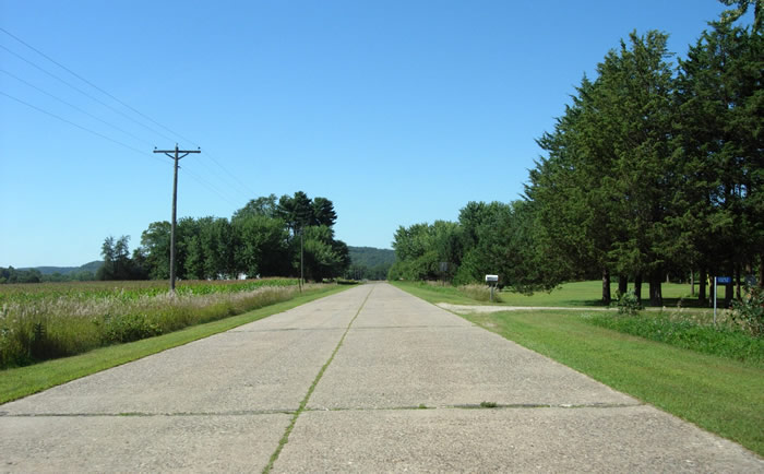
The next section of the old highway, north of the Zumbro River, is accessible from modern U.S. 61 via the south end of County Road 30 at Midland Junction. The old highway south of the railroad crossing is now 645th Street, a minimum maintenance local road that was once the north approach to the old Zumbro River Bridge. It now provides access to a few local farms and the public water access on the Zumbro River. The old Zumbro River Bridge at the south end of 645th Street was 652 feet long, with multiple truss spans and a deck only 19 feet wide. The major online mapping sites continue to show the bridge as open, despite aerial photos from as early as 1991 clearly showing the bridge to be gone. Topo maps from 1987 show the alignment as open, so it seems to safe to say that the bridge was probably demolished sometime in the late 80's or early 90's. Its piers are visible from the public water access. North of the railroad crossing, the old highway continues north towards Wabasha as County Road 30 or Pioneer Trail. Pioneer Trail still provides access to the local high school, as well as to the homes clustered near Peterson and Robinson Lakes on the Mississippi River via County Road 24. Wabasha County has made quite a few improvements to the old highway, widening it in places and adding turn lanes at important intersections. |
Inset 6: 645th Street and Midland Junction |
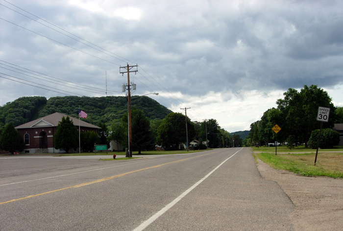
Pioneer Trail becomes Hiawatha Drive as it enters Wabasha, eventually curving to match the city's street grid. It passes through a mostly residential area of Wabasha, never getting very close to downtown. West of Pembroke Avenue the old highway passes a small retail area, and then crosses the lagoon that bisects town.
|
Inset 7: East Entrance to Wabasha |
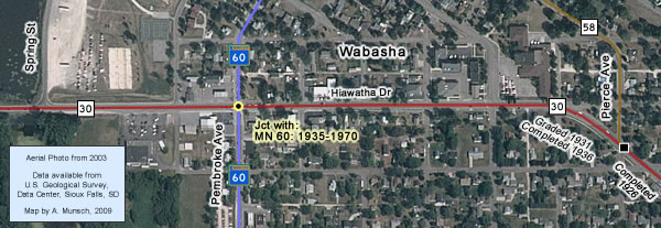
Historic Junction:  1935-1970
The historic junction with Highway 60 in Wabasha was at the intersection of Pembroke Avenue and Hiawatha Drive. Highway 60 terminated at its junction with U.S. 61 until 1945, when it was extended north over the bridge to Wisconsin. It still passes through the junction today.
Hiawatha Drive begins to curve onto North Drive after crossing over the railroad tracks on the west side of Wabasha. It originally curved to the right instead. This curve is one of two connections to modern 61 constructed in 1970, the other being at County Road 30 (see inset 8, right - notice how Hiawatha Drive has been realigned at this point). The final piece of old 61 lies just to the west of County Road 30's connection to modern 61, beginning at Phelps Avenue. The original concrete pavement from 1936 is still intact on this section, which now serves as the city compost site. The city piles the compost right on top of the west end of the historic pavement! |
Inset 8: West End of Hiawatha Drive |
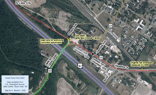
Historic Junction:  1934-1935
The original (but temporary) junction with State Highway 60 was at the site of the intersection of Hiawatha Drive and Phelps Avenue. Highway 60's original alignment was along what is now County Road 30 southwest of Wabasha when it was first marked in 1934. It was moved to its permanent alignment the following year.
Photo Tour - Most of the following photos were taken in August, 2008 (a clear sunny day), and in August 2009 (a cloudier day), unless otherwise noted.
Lost Pavement South of 618th Street
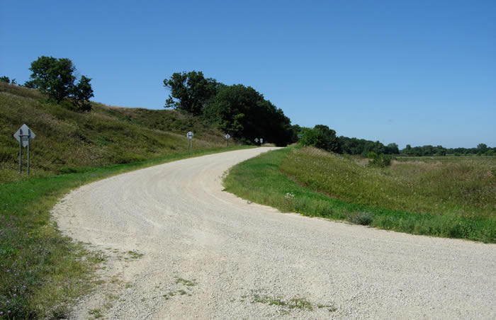
Looking north on 618th Street, a local access road constructed on the site of the old highway in 1969. The rather steep 161st Avenue connection to modern U.S. 61 is on the upper left.
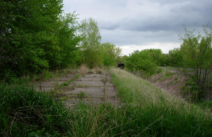
The southernmost section of old pavement is accessible from 618th Street via this rutted dirt trail (photo looking southwest from the vantage point of the first photo).
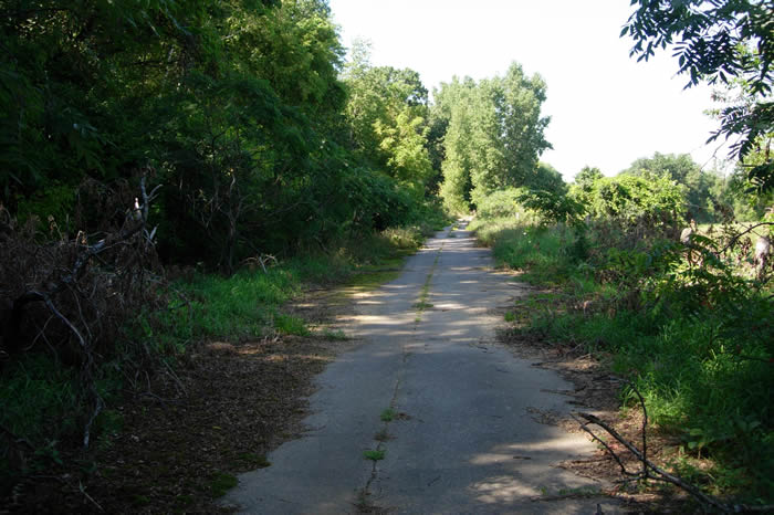
Looking southeast on the surviving pavement, now closed to automobile traffic.
The old pavement extends south for a surprising distance until finally ending at the embankment of the modern highway grade (photo looking south).
Turning around and walking back to the car...The pavement here has become rather overgrown. Also note the traffic barriers and railroad tracks on the right.
Another shot of the old pavement, looking north. The local flora is slowly covering the concrete.
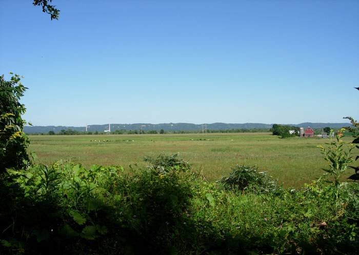
The view of the Mississippi River bottoms from the old road, looking east towards Alma, Wisconsin.
Looking north across the gap in the pavement to 161st Avenue.
161st Avenue
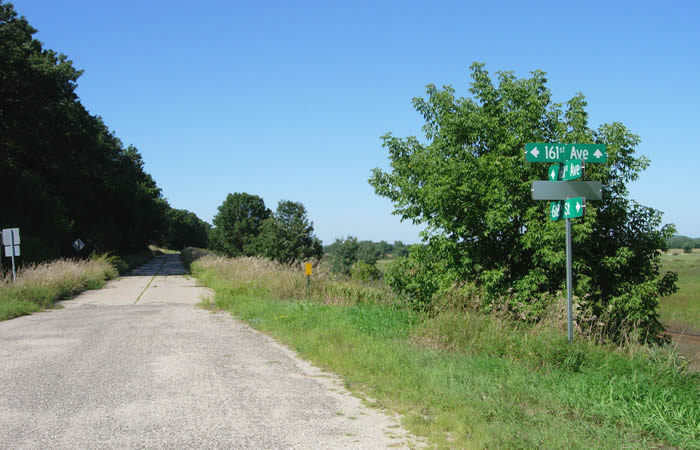
A rather confusing street sign at the south end of the surviving pavement that makes up 161st Avenue.
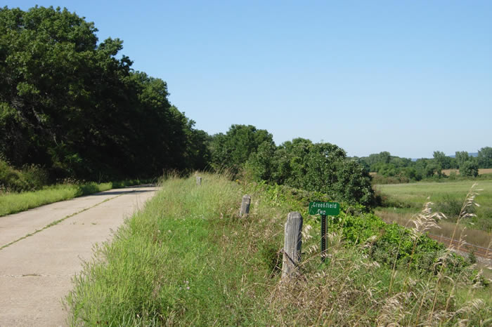
An unusual sign on 161st Avenue marking the Greenfield Township Line.
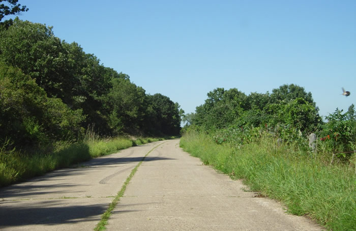
Driving north on 161st Avenue.


Approaching 627th Street. The concrete here has been covered with a light seal coat. On the left is the approximate site of the temporary connection between the old and modern highway, used from 1969 to 1970.
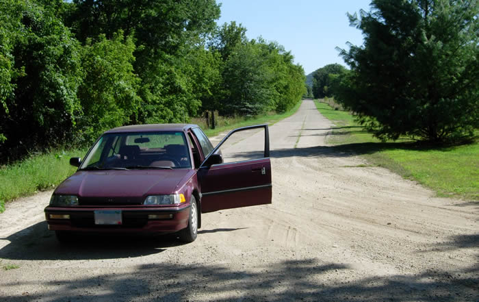
Looking back to the south at 627th Street, with my trusty Civic for scale.

Looking north from 627th Street towards Gorman Creek. The section of old road ahead has become overgrown from disuse since the bridge was demolished.
The barrier at Gorman Creek.
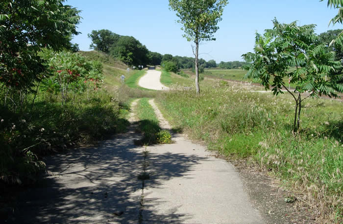
Looking south down 161st Avenue at 630th Street towards Garvin Creek after making the quick jog around the gap in the road via modern U.S. 61.

Looking south on 161st Avenue on the other side of the creek at the other traffic barrier. Note the private rail crossing on the left. Also note the rather substantial integrated curb on the right.
Looking north towards Kellogg on 161st Avenue at 630th Street.
Driving north towards Kellogg.
The north end of the old pavement at the junction with County Road 84.
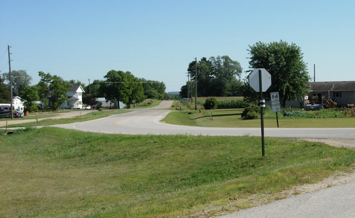
Looking back to the south at the junction of County Roads 84 and 18, the site of the junction with State Highway 42 from 1938 to 1970.
Kellogg and the Old Rail Overpass
Looking north on County Road 18 towards Kellogg from the junction with County Road 84.

Looking north on Dodge Street /Co Rd 18 in Kellogg.
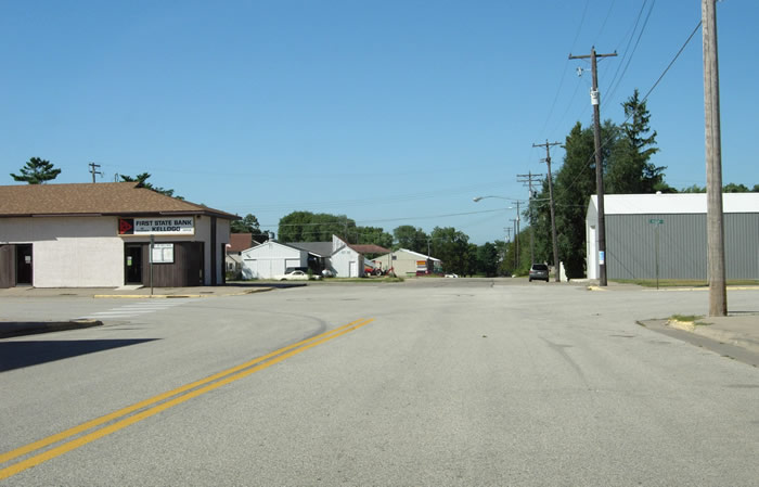
Looking north at Belvidere Avenue.
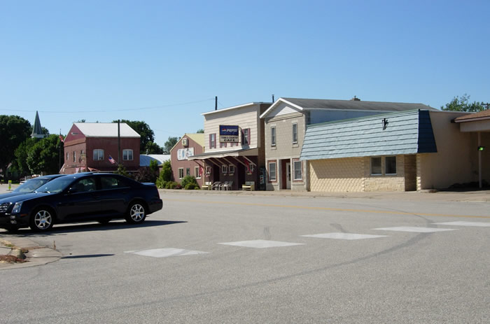
Looking west down Belvidere Avenue through Kellogg's central business district.

Looking north at Winona Avenue. The old ramp towards the railroad overpass is located center-right. Also note the old service station on the left, now a body shop. This was the site of the original junction with State Highway 42 from 1926 until 1938.
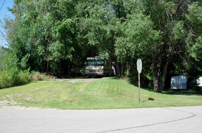
A closer view at the old ramp towards the rail overpass, now blocked by a motor home and storage shed (and most likely private property - I did not investigate further).
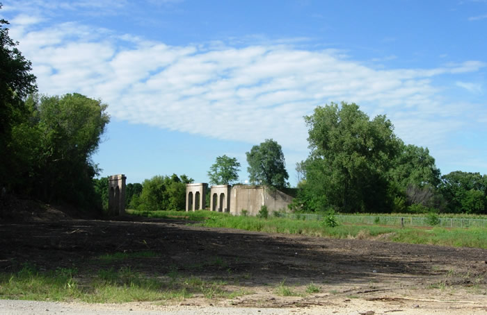
Looking north from Belter Road on the northeast side of Kellogg towards the remains of the railroad overpass. The elevated grade
of the old highway is also visible (Photo from August, 2005).
645th Street and the Old Zumbro River Crossing
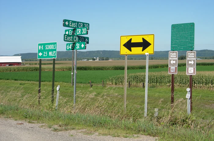
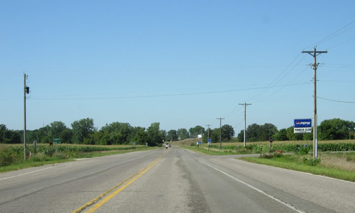
The bewildering array of signs at the south connection of County Road 30 with modern U.S. 61 at Midland Junction. Note the faded sign for "Pioneer Trail" on the right.
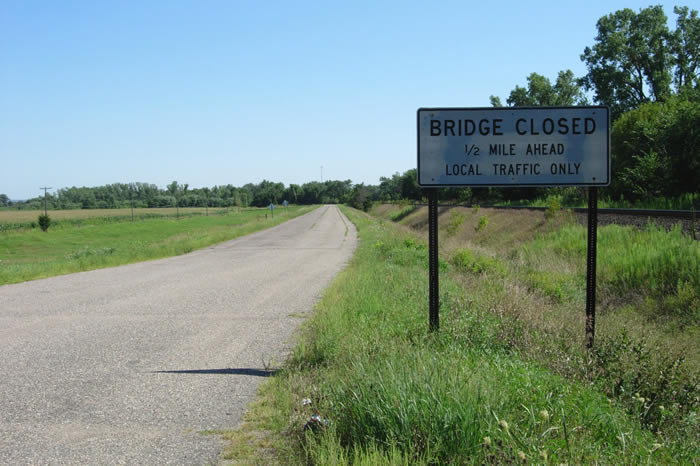
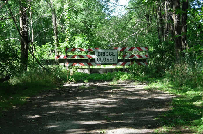
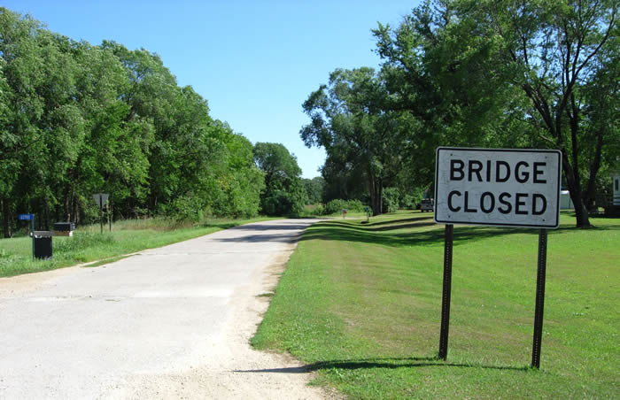
Looking south on 645th Street from the junction with County Road 30. Note the "Bridge Closed" sign.
The connection with the old Zumbro River bridge was at the end of the road in the distance (at the line of trees).
Looking south on the closed section of the old alignment, just north of the
Zumbro River. Photo taken May, 2005.
One of the old bridge piers, visible on the north end of surviving grade. Note the rip rap on the rail grade on the right.
Photo taken May, 2005.
Looking east towards the bluffs on the Wisconsin side of the Mississippi at the south end of the surviving old alignment. The public water access, marked by the small brown sign on the right, allows access to the rest of the old bridge piers. Photo taken May, 2005.
More bridge piers, looking northwest from the public water access. Photo taken May, 2005.
Looking south across the Zumbro River from the public water access. Another
pier is visible. Photo taken May, 2005.
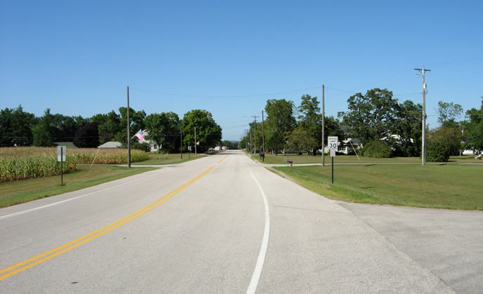
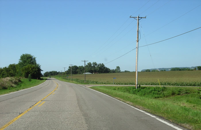
County Road 30 (Pioneer Trail)
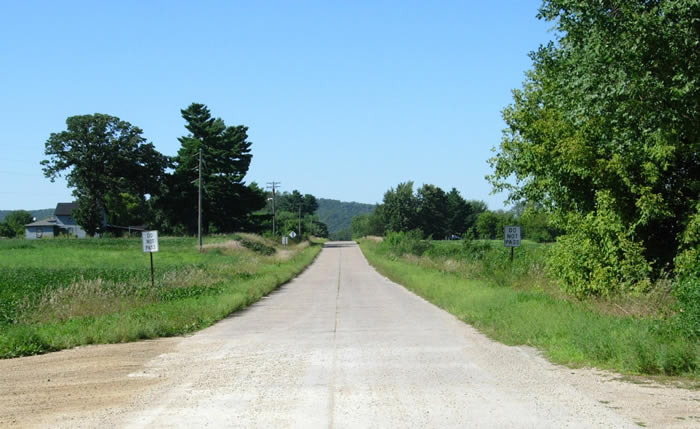
Turning things around and heading north on County Road 30 from Midland Junction towards Wabasha.
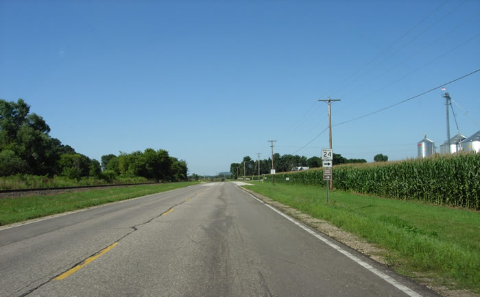
Northbound on County Road 30, approaching the south junction with County Road 24.
At the north junction with County Road 24.
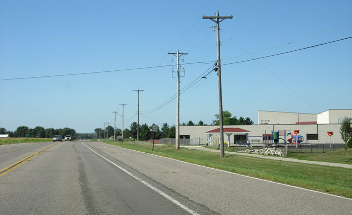
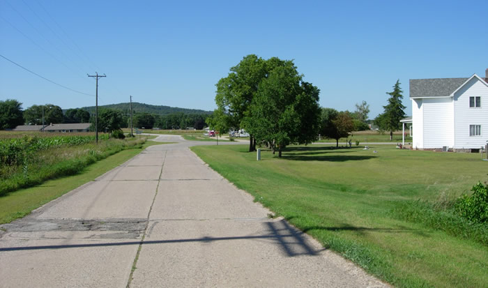
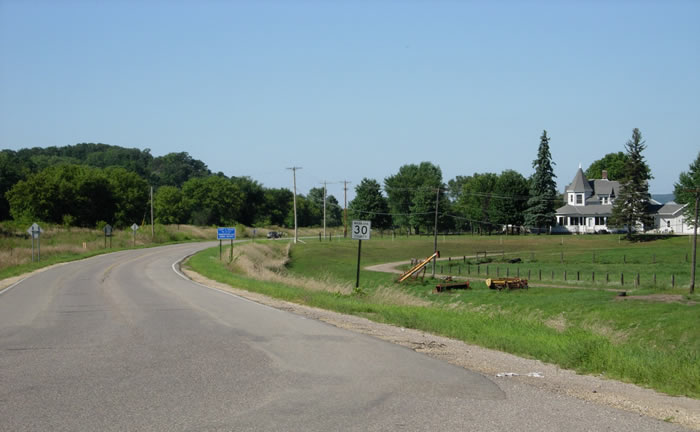
Passing by the Wabasha-Kellogg school.
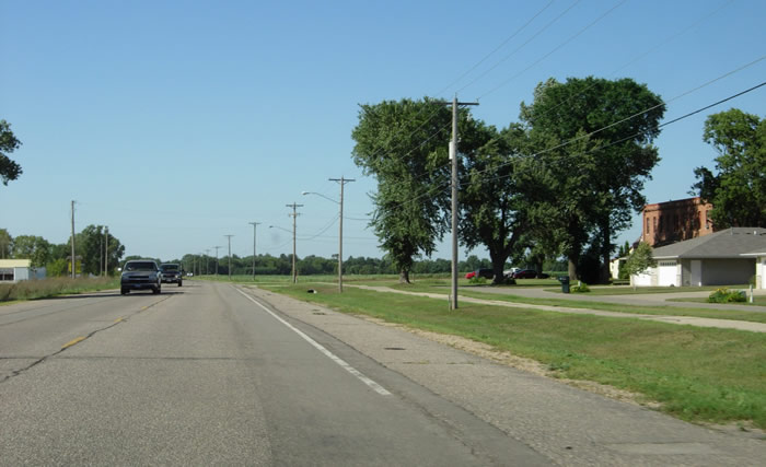
Passing by the old Wabasha County Poor House (the red brick building on the right). For more info, see Cathy Wurzer's book, "Tales of the Road: Highway 61".
Entering Wabasha....
Hiawatha Drive, Wabasha
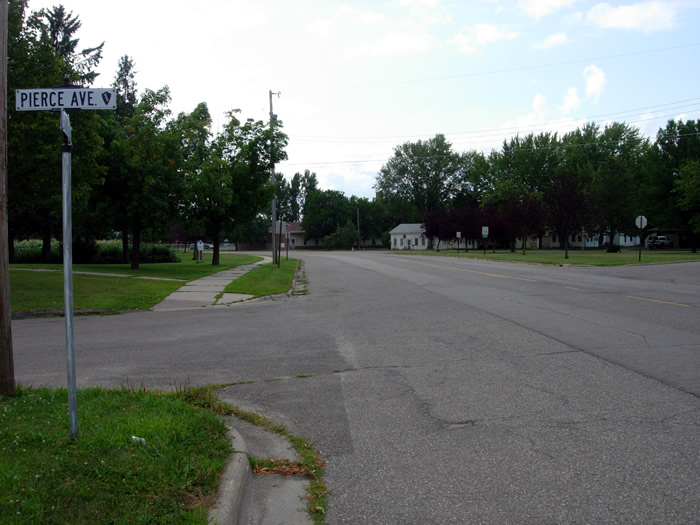
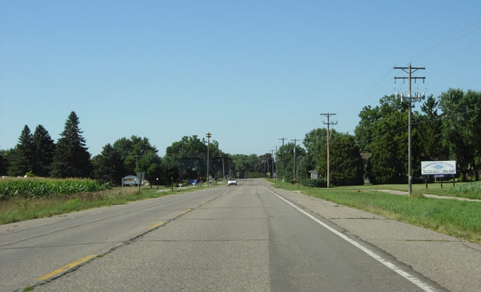
Looking west on Hiawatha at Pierce Avenue in Wabasha. The highway west of this point was constructed in 1931, and most likely opened in 1932. The highway originally curved to the right here onto Pierce (for more on the original alignment into Wabasha, see the article Old Road Between Wabasha and Lake City)

Looking west down Hiawatha Drive at Broadway.
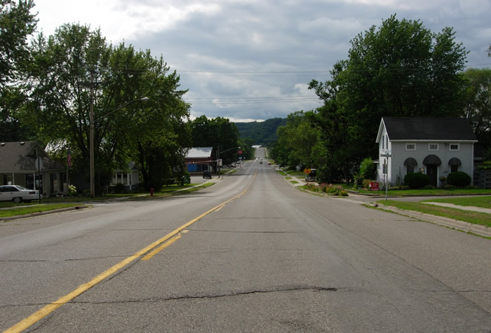
Looking west down Hiawatha at Franklin.
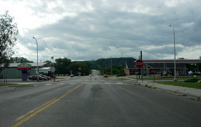
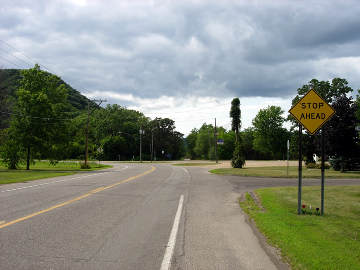
Looking west at the intersection of Hiawatha and Pembroke, the historic junction with Highway 60 from 1935 until 1970 (Highway 60 still runs through the intersection).
On the road ahead is a culvert over a lagoon, and the rise to a railroad overpass.
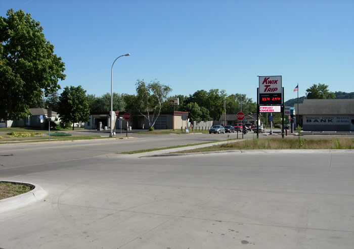
Another view of the historic junction, looking south (a highway 60 marker is visible below the Kwik Trip sign).

Looking south across the lagoon in Wabasha towards the Hiawatha Drive culvert, probably constructed in 1931.

Crossing the railroad tracks on Hiawatha. The bridge was constructed in 1998 to replace the original built in 1932.
Looking west just after crossing the railroad bridge. The historic highway curved to the right here instead of to the left towards modern U.S. 61.
Looking west down Hiawatha from North Drive. The Wabasha County Highway Department building is on the left.
Looking west on Hiawatha where it makes its final curve towards modern U.S. 61. The historic highway continued straight ahead (you can just make out some of the historic pavement in the distance). The dirt lot ahead was the location of the original junction with State Highway 60 for only about a year between 1934 and 1935.

The western-most section of the old highway is now the City of Wabasha Compost Site. The original pavement, completed in 1936, is still in use.
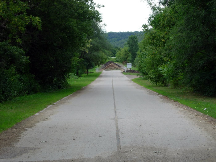
Another shot of the pavement as it slopes down to the compost site.

The gate to the actual compost site.

One last shot of the surviving concrete at Wabasha from "Highway Explorer", showing where the pavement ends at the embankment of the current highway.