

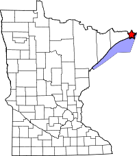
 Old Border Road (Old Hwy 61)
Old Border Road (Old Hwy 61)
Part of:
Fall 1926 - 1963/66
May 1921- May 4, 1934
Length: 13 miles
Historic Context: Part of the original border road built by local effort, completed by 1917. Taken over by the MHD as part of Trunk Highway 1 in 1921. Maintained by the MHD until construction of the modern north shore highway in the early 1960's.
Construction: Built by 1917 as part of the Duluth-Port Arthur highway, connecting with the "Outlaw Bridge" over the Pigeon River at the border between the United States and Canada. Bridge replaced with a modern steel-truss in 1930. Northern-most section at the crossing straightened in 1930. First paved in 1939 with bituminous by the MHD.
Bypassed: Between 1963 and 1966 by the construction of the modern north shore highway.
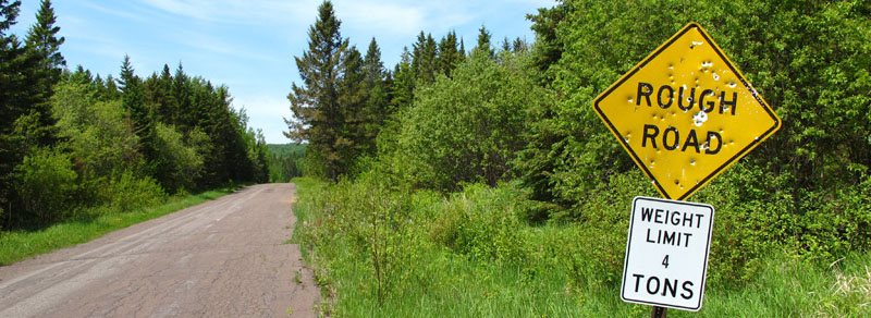
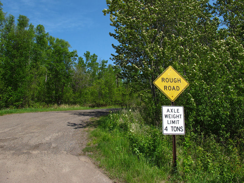
Status: Part of Cook County Roads 17 and 89, signed as "Old Hwy 61". Road mostly left in original condition, but deteriorating due to minimal maintenance.
Last Visited: June 2012
Related Articles
Mineral Center Road
For the past 50 years motorists traveling Highway 61 along the north shore of Lake Superior have crossed the border between the United States and Canada at a bridge over the Pigeon River. What many don't know is that for nearly 50 years the border crossing lay 15 miles inland at a different place also called "Pigeon River". Today that old border crossing is closed, but the highway that once traveled 13 miles inland to reach it is still around, tempting highway buffs to travel its crumbling pavement through tall pines and birch trees, navigating around its hair-pin turns and steep hills.
History

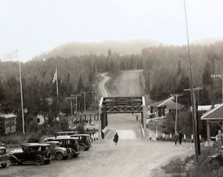
The original wooden "Outlaw Bridge", looking south from Canada towards the
United States.
The old border crossing first came into use in 1917 after local rotary groups on both sides of the border decided to build a bridge over the Pigeon River as part of a road between Duluth and Port Arthur (now Thunder Bay) in Ontario. The locals had become sick of waiting for approval from the U.S. and Canadian governments, which was required for any permanent crossing per treaty. The bridge therefore became known as the "Outlaw Bridge" because of its less than legal origins.
The "Outlaw Bridge" had its grand opening in August of 1917. It ended on each side with steep ramps due to a shortage of materials. Small communities sprouted up on both sides of the bridge to cater to tourists, featuring small hotels, restaurants, and service stations, as well as the obligatory customs and immigration stations.
In early 1921 the road leading inland to the bridge was taken over by the state and became part of Trunk Highway Number 1, which later became part part of U.S. Highway 61 in late 1926. In 1930 the original wooden bridge was replaced by a modern iron truss span. In addition, the final stretch of the road leading to the bridge was widened and straightened.
During the 1920's and 1930's, the local Chippewa on the Grand Portage Indian Reservation began to take advantage of the burgeoning tourist trade on the new highway between Duluth and Canada, opening restaurants, cabins, and souvenir stores. However, the main community at Grand Portage was located more than four miles east of the original Duluth-Port Arthur Highway. A dead-end road led east from the highway at Mineral Center to the town. The reservation council did not want Grand Portage to be "located at any dead-end street" (the words of the council's attorney).
By 1935 the Highway Department had acquired approval from both the Canadian government and the Chippewa to acquire a right-of-way for a new highway that would more closely follow the shore of Lake Superior and pass through the community of Grand Portage. However, an opposing coalition of conservation groups and the Department of the Interior banded together to block it, believing that the real beneficiaries of the new highway would be white land and business owners in Duluth and Grand Marais. They also sought to preserve the Chippewa's way of life.
Initially, the Federal Government blocked the condemnation procedures on the grounds that the Indian lands on the proposed right-of-way were held in trust by the federal government, and since the United States could not be sued for condemnation without an act of congress, the state could not proceed without permission from the Secretary of the Interior. The case made it all the way to the Supreme Court, where a decision was made on January 3, 1939, finding for the United States. With its plans blocked, the Highway Department decided to finally pave the old border road as a temporary measure. When the paving was completed later in 1939, the old border road became the final piece of the north shore highway to be paved.
Although congress eventually authorized the condemnation of the right-of-way for the proposed north shore highway in 1942, construction was delayed for nearly 20 years by World War 2 and by other high priority post-war projects. Construction finally began in 1958, and the new border crossing was completed by the end of 1963. However, the new highway only reached as far south as Mineral Center Road, just south of Grand Portage. Mineral Center Road was taken over as a temporary connection between the new and old roads until the southern stretch could be completed. The rest of the new highway was finally opened on August 9, 1966. The old border road reverted to local control, and the old bridge was removed.
The February 1961 edition of "Minnesota Highways" (the employee newsletter of the MHD) featured the following poem by Milon Peterson about the old border road, dedicated to his friend Ray Olson who had maintained it for 35 years.
It's always dark up on Ray's beat.
Yes, the sun never shines up at Mineral Center.
You will find rain, snow, fog or sleet,
When you enter that narrow road.
Thirteen miles to its torturous end,
It twists and turns in an anguished climb.
You must stalk each hill, each murderous bend,
As you travel the narrow road.
The surveyors must have followed a footloose moose,
Or perhaps some fox, or a wondering deer.
Surely full of despair and a fermented juice.
When they laid the narrow road.
So in the cold gray dawn we fill our load,
Of sand, and salt and chloride too.
And head east to the wilds of no abode,
To a never ending task on the narrow road.
Map and Photo Tour
The road that once carried motorists 13 miles into the north woods to the old border crossing now lies lonely and disused, the decades-old pavement crumbling. Though still a public highway, you are more likely to see a deer cross your path than another motorist (on a Sunday afternoon in early June I encountered not one car, but 4 deer!)
Overview
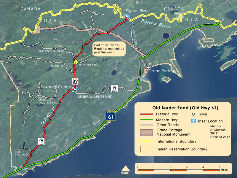
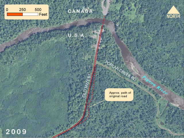
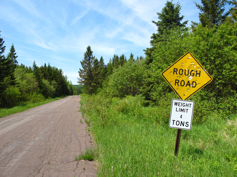
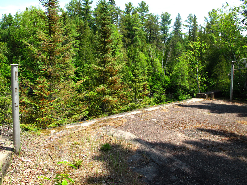
The old road runs inland, roughly paralleling the modern highway a few miles to the west. It is now under the jurisdiction of Cook County as far north as Mt Maude Trail, being part of County Roads 17 and 89. The pavement, which is probably original, is in very poor condition, and long stretches have been covered with gravel (probably to correct especially rough areas). There are no gas stations or other businesses to be found. Driving of the route is not for the faint of heart; the road's design is of very early vintage and features steep slopes and hair-pin turns at many locations. Landmarks on the route include the site of Mineral Center, the crossing of the road by the Grand Portage trail, and the ruins of Pigeon River and the old border crossing.
Details
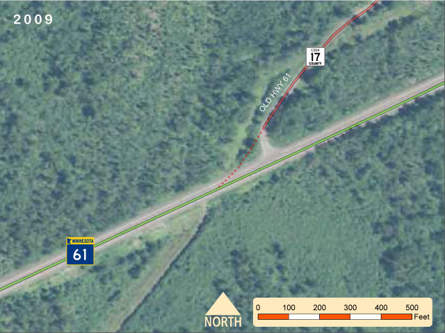
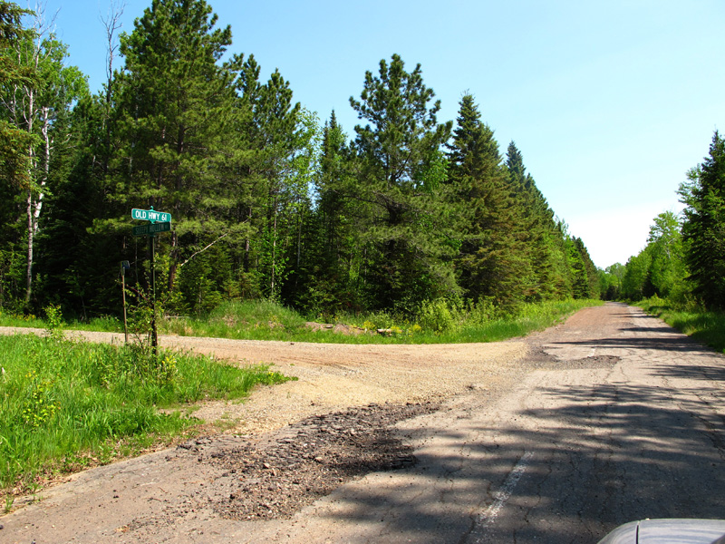
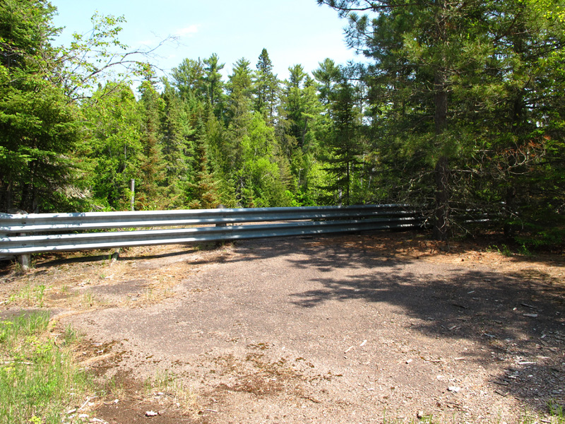
South EntranceThe south end of the old border road lies just north of the Reservation River on the north side of Highway 61. The entrance to the road is very nondescript and easy to miss (see map, right).
|
|
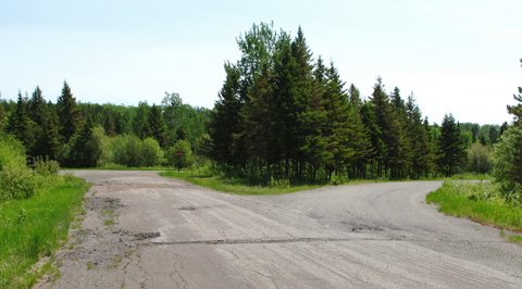
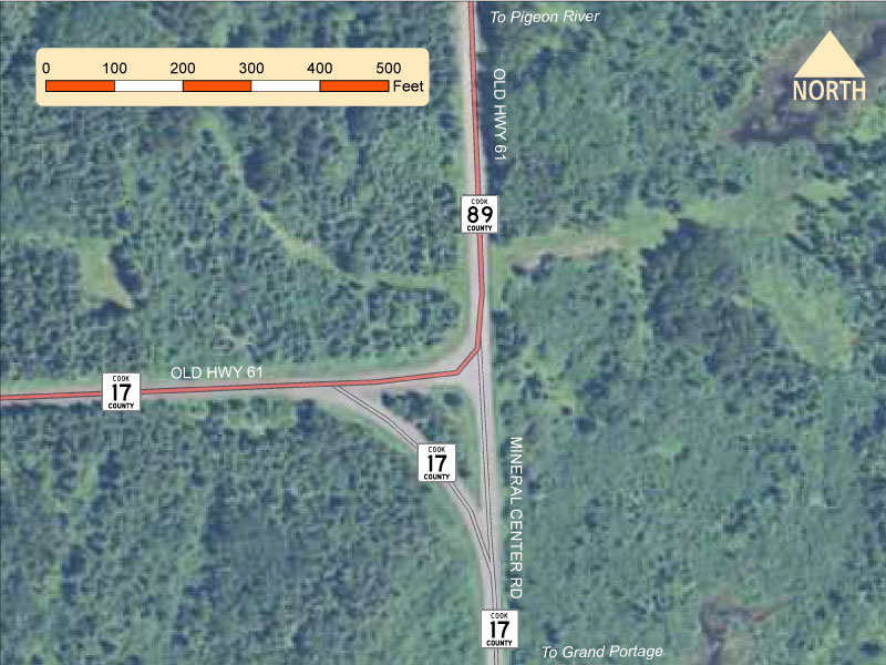
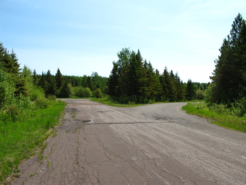
At Mineral CenterThe point on the old highway with the most potential to cause confusion for the unwary highway explorer is the junction of County Roads 17 and 89 at Mineral Center (see map right). This was once a locally important junction where motorists could turn off of Highway 61 to visit Grand Portage or continue on their way to the border.
|
Close-up of the junction of County Roads 17 and 89 at Mineral Center. |
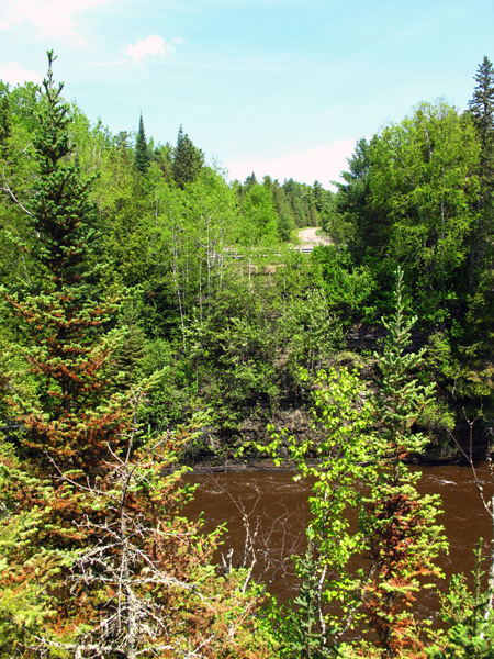
Old Pigeon River Border CrossingThe old border highway now dead-ends at the footings of the bridge built in 1930 across the Pigeon River into Canada, which was removed shortly after the opening of the current border crossing in 1963. The surrounding area is a wide expanse of asphalt, ringed by the ruined foundations of the town of Pigeon River. Only a few small buildings remain intact. The stretch of road just south of Pigeon River was straightened out in about 1930, leaving a short length of the old road alongside. The old road is easily visible in both the historic photo below, and in an aerial photograph from 1940 (roll over the map at right). It has since been swallowed up by the forest.
|
|
Photos - taken in June, 2012.
South entrance to Old Highway 61, looking northeast.
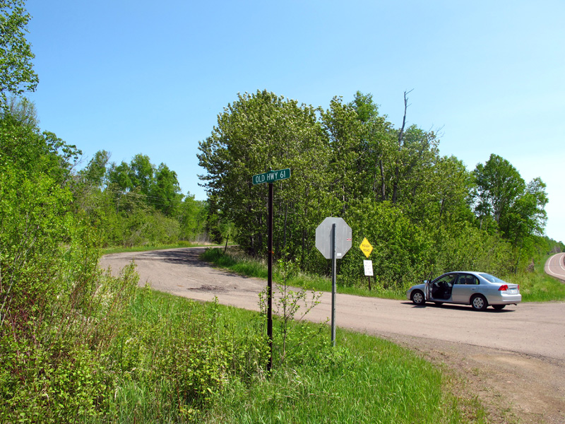
South entrance to Old Highway 61, looking northeast.
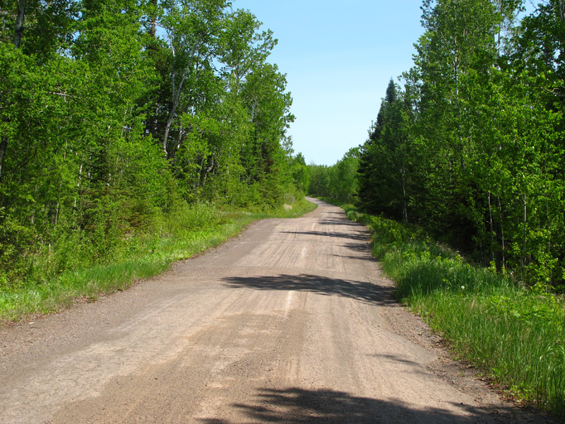
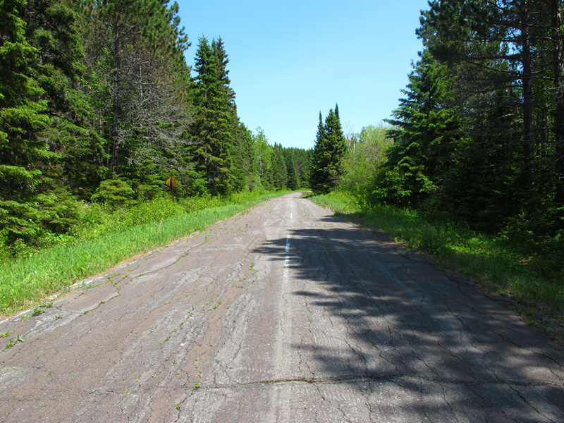
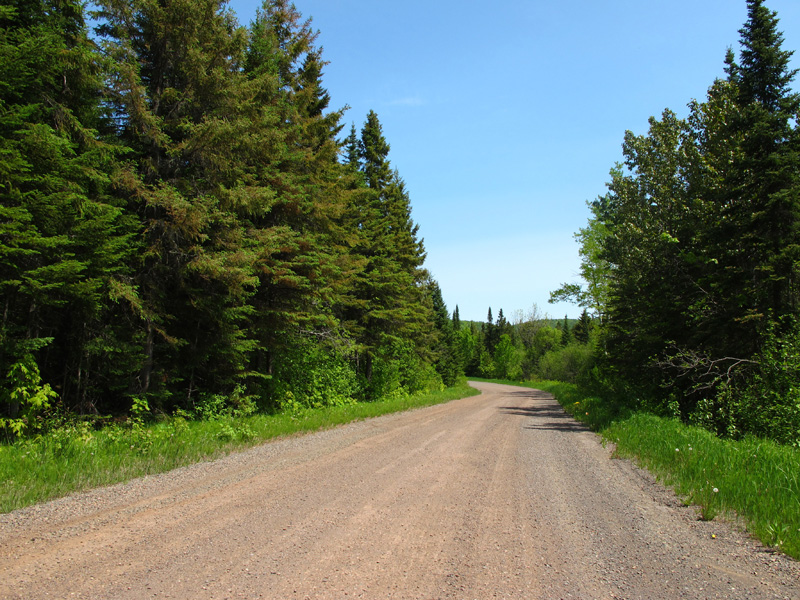
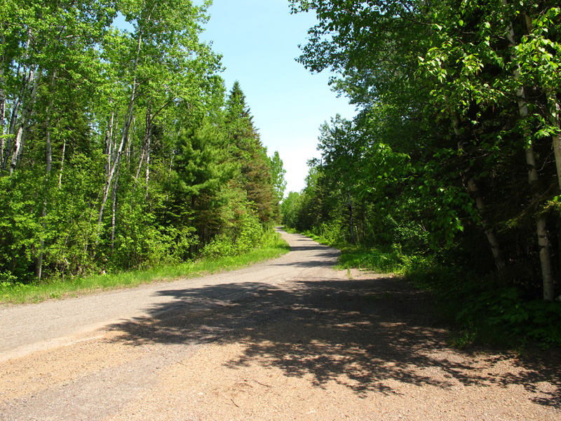
Northbound between Highway 61 and Sleepy Hollow Road. Note the white center-line markers.
Northbound at Sleepy Hollow Road. Note the poor condition of the pavement here.
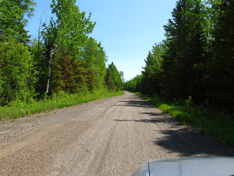
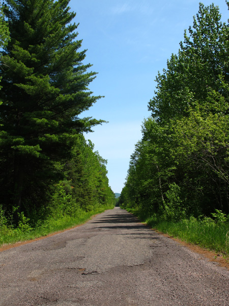
Northbound between Sleepy Hollow Road and Speckled Trout Lake Road.
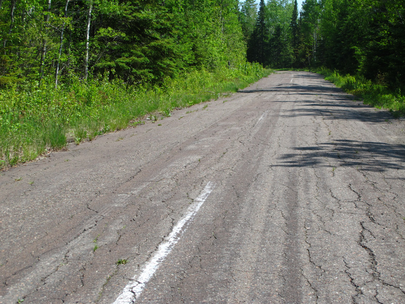
Close-up of old style white centerline markings, northbound between Sleepy Hollow Road and Speckled Trout Lake Road.
Northbound between Sleepy Hollow Road and Speckled Trout Lake Road.
Northbound between Speckled Trout Lake Road and Mineral Center Road.
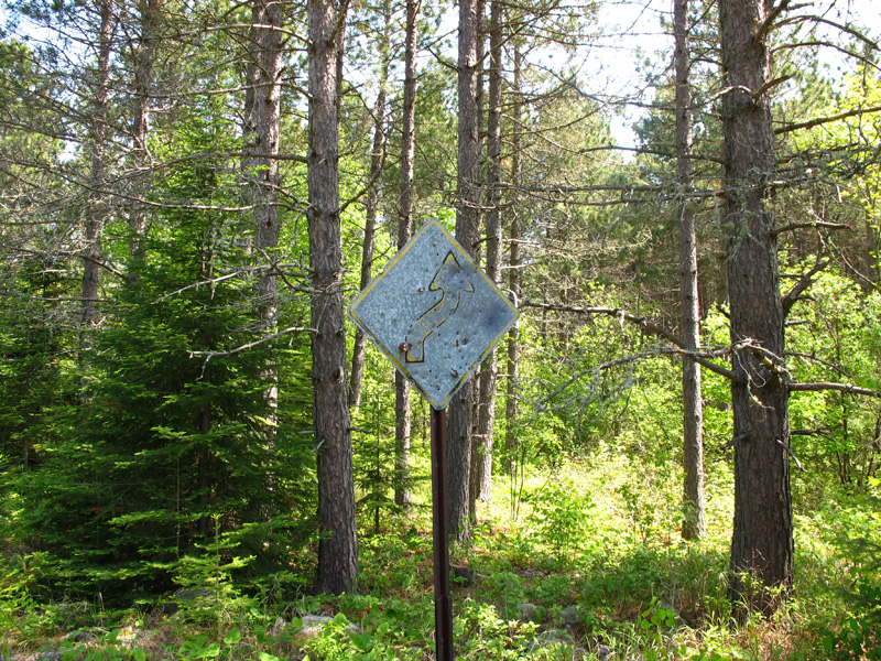
Worn hazard sign.
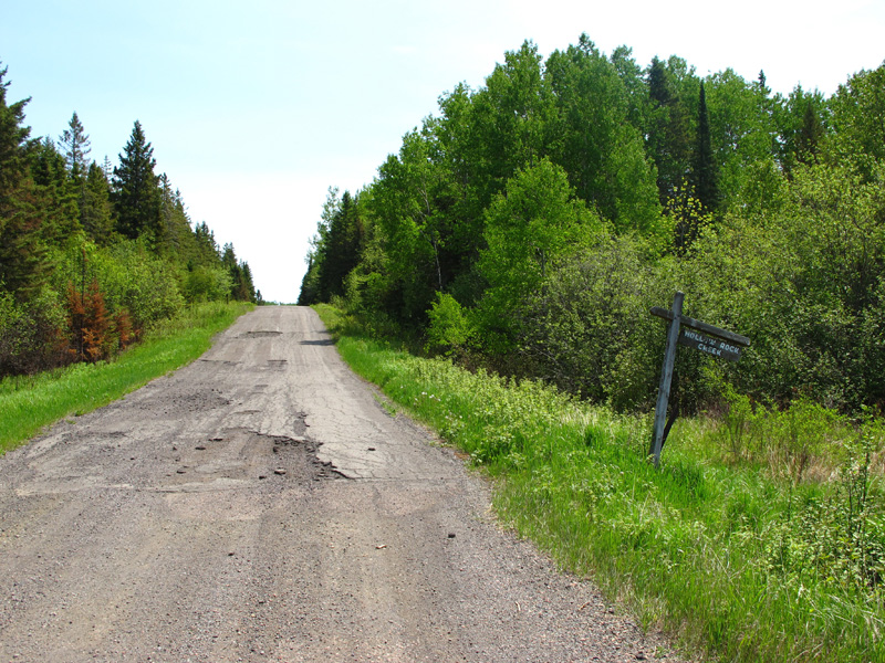
Crossing of Hollow Rock Creek, just west of Mineral Center.
Looking back to the west from Mineral Center.
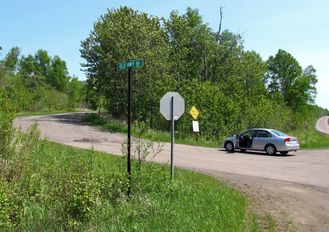
Junction of Old Highway 61 with Mineral Center Road (jct of Co Rd's 17 and 89), looking east. At the T-junction ahead motorists could turn right to head to Grand Portage, or turn left to continue on Highway 61 to the border crossing. The curve on the right was added in the 1950's, and now allows you to continue east on County Road 17 over Mineral Center Road back to modern Highway 61.
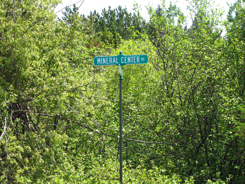
Mineral Center Road street-sign at the T-junction in the previous photo.
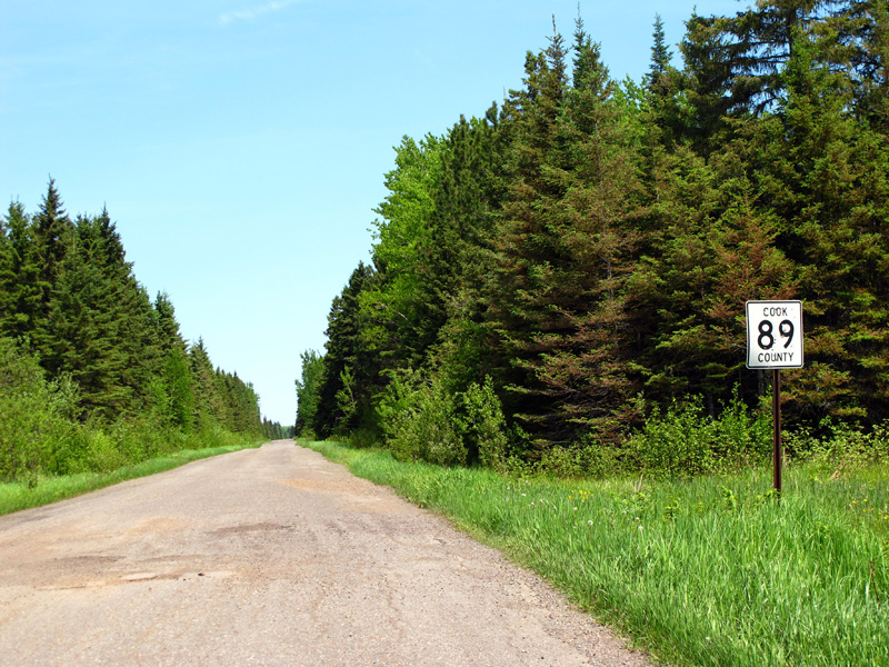
Looking north on Old Highway 61 (now County Road 89) from Mineral Center.
Northbound north of Mineral Center.
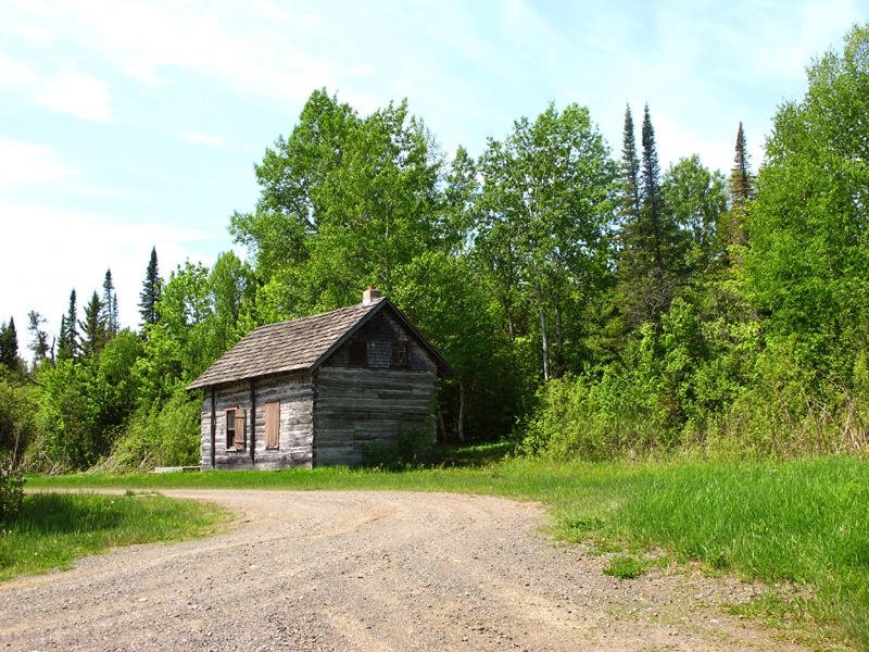
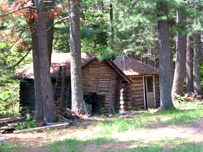
Old cabin north of Mineral Center at Ringo Road.
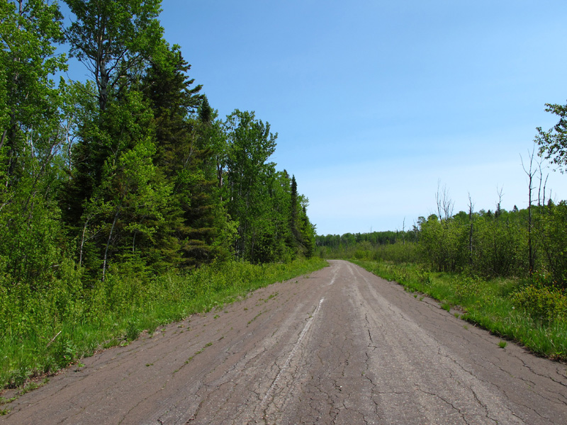
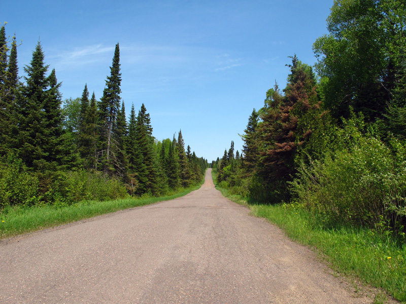
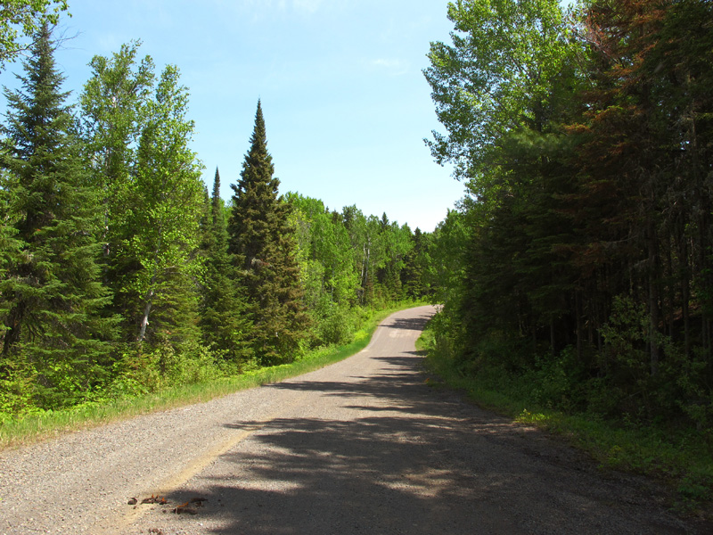
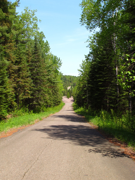
Northbound between Mineral Center and Mt Maude Trail.
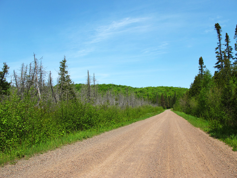
Northbound between Mineral Center and Mt Maude Trail.
Northbound between Mineral Center and Mt Maude Trail.
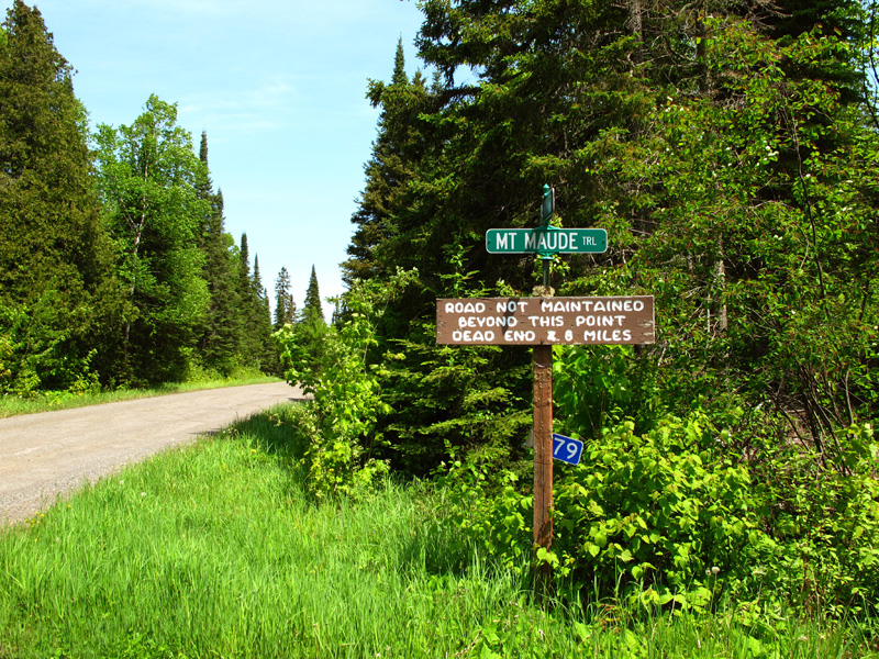
Junction with Mt Maude Trail, looking north. Cook County's jurisdiction over the road ends at this point. The sign indicates no maintenance past this point (the road past this point seemed no different than any other portion).
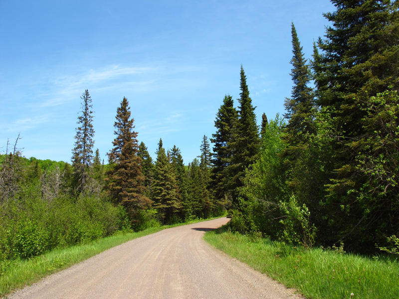
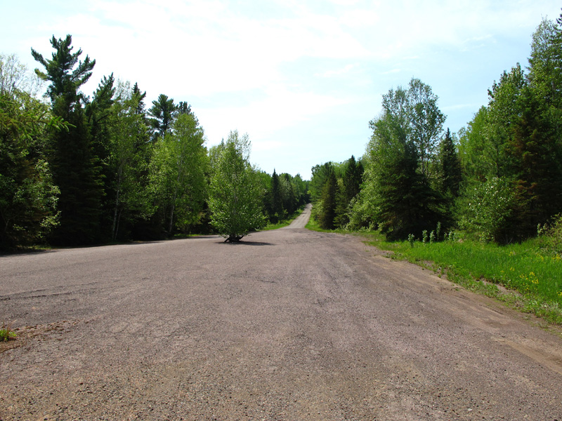
Northbound between Mt Maude Trail and the Grand Portage trail crossing.
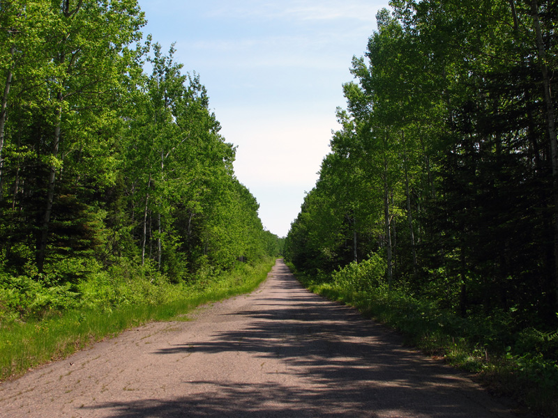
Northbound between Mt Maude Trail and the Grand Portage trail crossing.
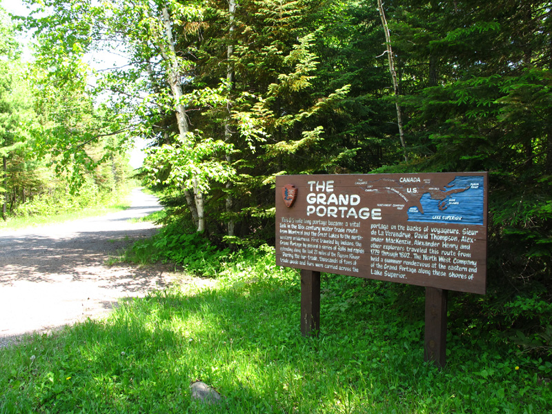
Signage at the crossing of the Grand Portage National Monument Trail.
Looking north from the Grand Portage.
Northbound between the Grand Portage and the border crossing.
The final down-hill approach to the old border crossing and Pigeon River.
Looking south through the widening in the highway that was once Pigeon River. Note the trees sprouting up in the middle of the highway.
Dead-end at the north end of Old Highway 61 where a bridge once crossed the Pigeon River into Canada.
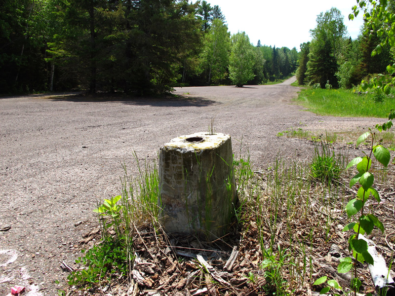
Remains of the south footings of the old Pigeon River Bridge.
Looking north across the Pigeon River towards Canada from the site of the old bridge. The north footings are visible.
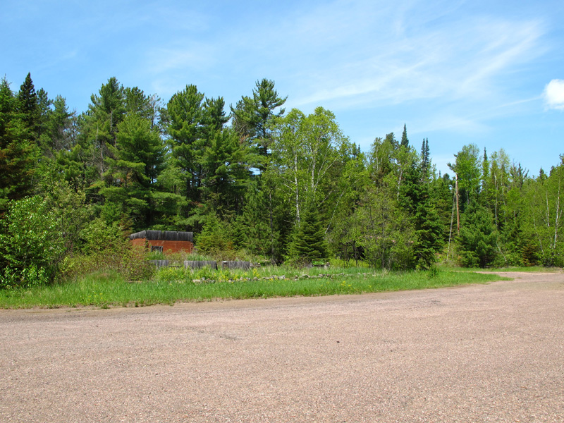
Ruins of what was once the Sextus Hotel in Pigeon River.
Remains of the support for the front porch of the U.S. Customs and Immigration Office.
Ruined tourist cabins in the woods behind the site of the old Hotel Sextus.
Sources
- Gilman, Caroyln. "The Grand Portage Story". Part 6: Boundary of Cultures. Accessed 6/27/2012 at http://www.nps.gov/history/history/online_books/story/chap6.htm
- MHD Construction Plans: project 1604-02, 6-20-1958.
- MHD Construction Plans: project 1604-11, 4-25-1964.
- MHD Right-of-Way Map 0-22: Pigeon River Bridge Approach.
- MHD Right-of-Way Map 32-9: Minnesota Trunk Highway No. 61 Across Grand Portage Indian Reservation.
- Miller, Les. "North Shore Highway Completed". Minnesota Highways. November 1966, pp 7-8.
- MnDOT. Construction Project Log: Control Section 1604
- Minnesota v. United States - 305 U.S. 382 (1939). Justia.com US Supreme Court Center. Accessed 6/27/2012 at http://supreme.justia.com/cases/federal/us/305/382/case.html
- United States Department of the Interior. "Indian Affairs: Laws and Treaties, Volume VI". Page 170. Accessed 6/27/2012 via Google Books.
- Wurzer, Cathy. "Tales of the Road: Highway 61". pp 10-13.