
 Historic U.S. 61: Old Alignment at Illgen City
Old Alignment at Illgen City
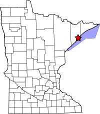
Located: on the west side of State Highway 61 at Illgen City, from 0.25 miles south to 0.65 miles north of the jct with State Hwy 1, In Beaver Bay Township, Lake County.
Historic Context: Part of the original North Shore Scenic Highway constructed in the 1920's.
Length: Approx. 1 mile total.
Constructed: 1924
Bypassed: 1969, by construction of a new alignment.
Also Part Of:
Status: 0.18 miles open to traffic as a local road. 0.68 miles closed to traffic with final pavement left intact. 0.14 miles of grade ruin with pavement removed.
Access: Public portion accessible directly from Highway 61 or from State Highway 1. Closed portion accessible from a pull-off point on State Highway 1, 0.25 miles north of Highway 61.
More U.S. 61 Articles
North >> Old Hwy 61 Between Illgen City and Little Marais
South >> Old Baptism River Bridge and Highway
A rather dramatic section of the original North Shore Scenic Highway survives at the small town of Illgen City. Once a series of very sharp curves designed to avoid building a bridge across Crystal Creek, the road was finally straightened out in 1968/69. The old alignment was split in two by the reconstruction of State Highway 1, leaving two separate pieces of the original road behind. One is now the main road through the heart of Illgen City, while the other on the hill north of town has been closed and left as a ruin.
Map
Key
- Green = Intact, open.
- Red = Ruin, pavement intact, closed.
- Red-Orange = Grade ruin (pavement removed).
- Orange = Old alignment, removed.
Photos - taken in April, 2010.

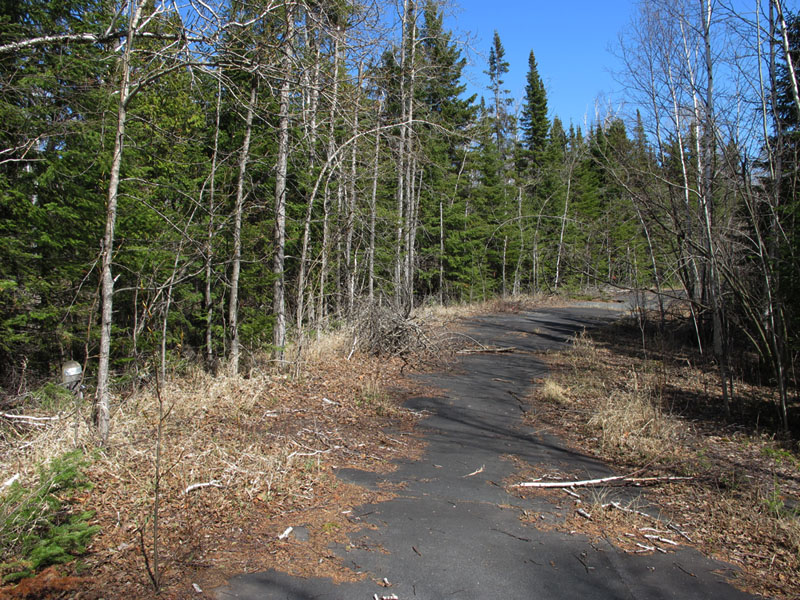
Looking northwest on Old Highway 61 at Illgen City, just off of the current highway.
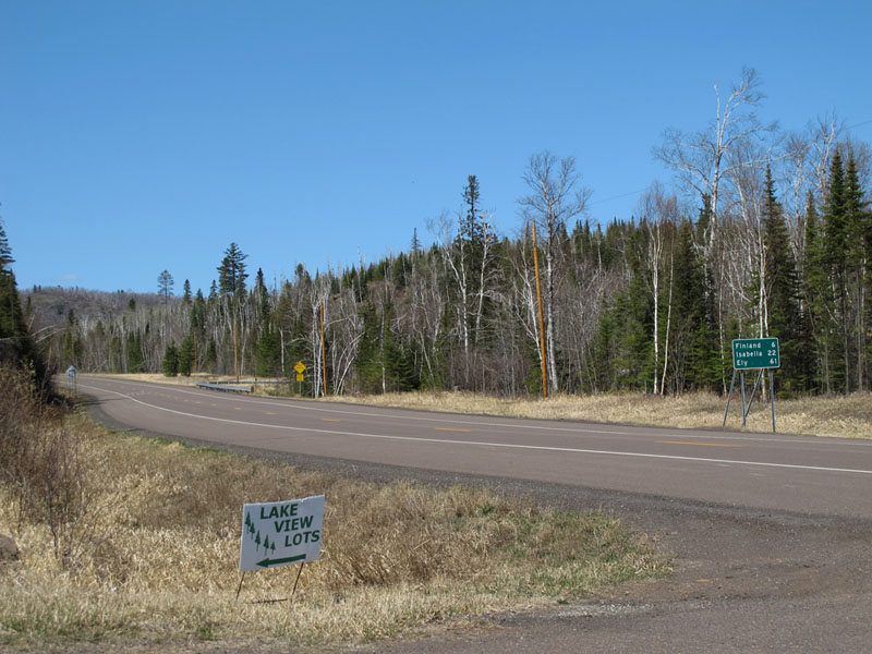
Looking northwest down State Highway 1 at the north end of the drivable portion of the old highway. The old road's alignment cut across the right-of-way on the left side of the photo to the far end of the guard rail visible in the distance.
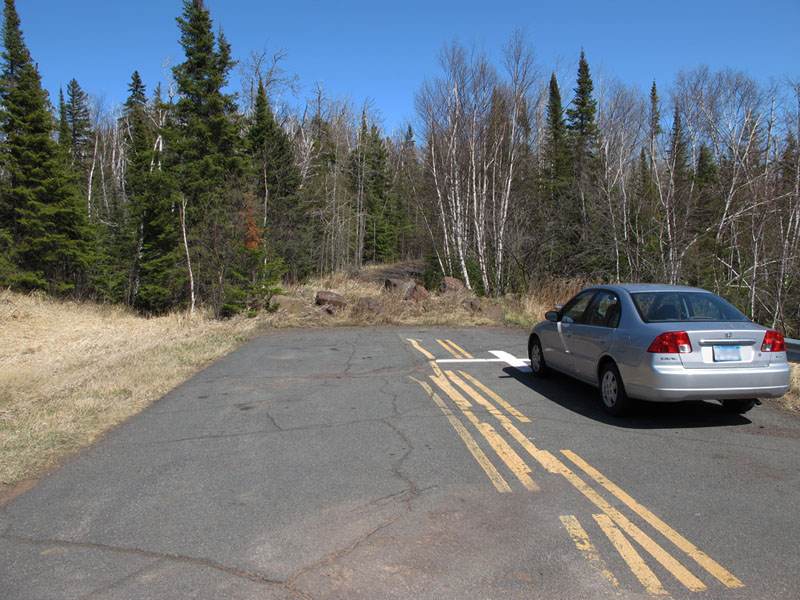
A short pull-in off of State Highway 1, which once provided access to the old highway before it was blocked off by boulders (the road in the foreground of the photo dates to the 1969 project, and is NOT the old road).
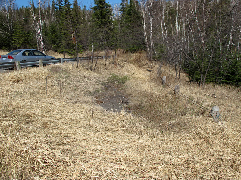
Just south of the pull-in is an almost hidden portion of what was once a sharp curve on the old road, now overgrown. Note the guard rails on the right.
Northbound on the old highway, just past the barrier as it meanders its way up the hill north of Illgen City. Note how the underbrush is starting to intrude on the asphalt.
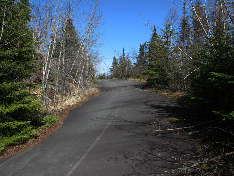
A bit further up the hill, showing the very steep superelevation and curve on the 1920's era highway.
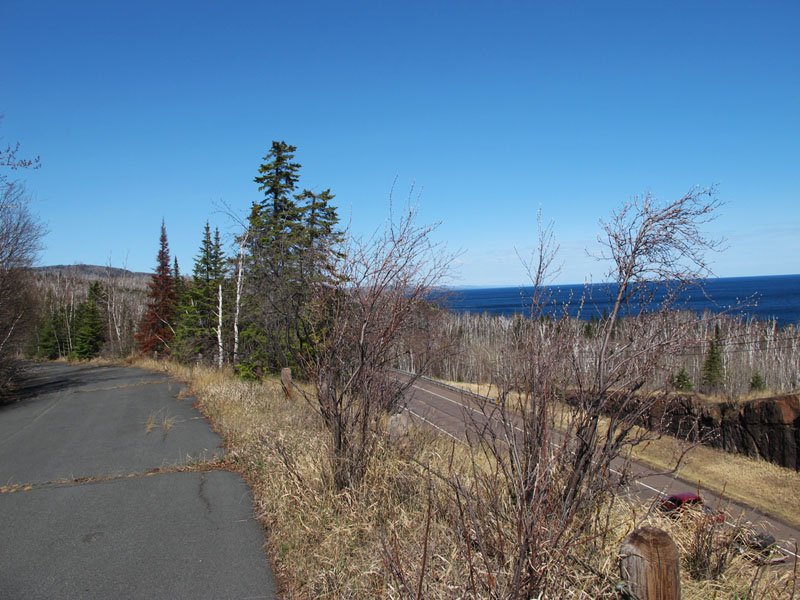
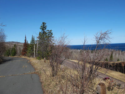
The high-point on the old highway, overlooking modern Highway 61 and Lake Superior.
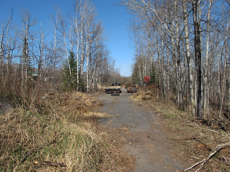
After coming down the hill, the old highway becomes the driveway to a private residence. The owner has reused the old road as a makeshift storage area, which also serves to keep motor traffic off.
Sources
- MNDOT. Construction Project Log: Control Section 3807
- Minnesota Highway Department. Construction Plan for Trunk Hwy No. 61-1 Between Little Marais and Two Harbors: S.P. 61=1-01, June, 1923.
- Minnesota Highway Department. Construction Plan for Trunk Hwy 61, S.P. 3807-23. 1967.