Brand new article with photos, etc! I also just completed a revamp of the historic U.S. 61 articles, correcting a few design issues etc.
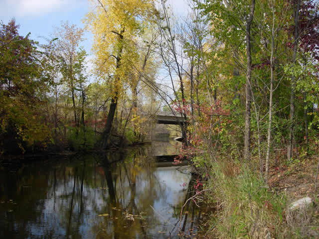
Work continues on the U.S. 61 project! I managed to photograph all of the historic alignments along the route between St. Paul and Wyoming last weekend. Those photos should be showing up at the U.S. 61 Project soon, along with yet more updates to the look and usability of the pages. The website has not only become an exercise in unearthing history, but also in learning the ins and outs of web design for me.
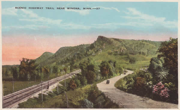
In more material news, I recently picked up a postcard via ebay showing what U.S. 61 used to look like before it was paved south of Winona near King and Queen’s Bluff.
The post card shows the road as gravel, so it for sure dates from before 1927.
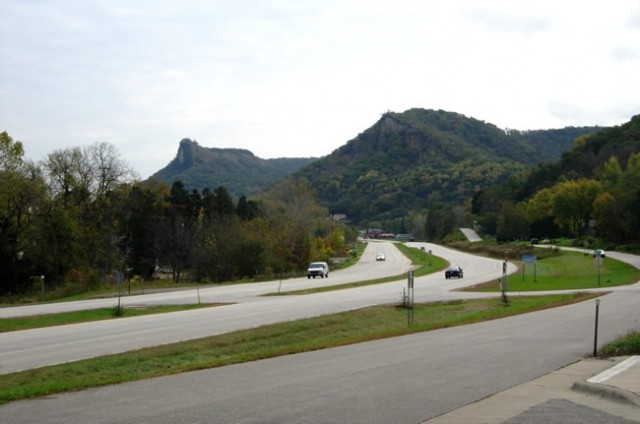
And here’s what nearly the same location looks like today.
Also, the 2009-10 official highway maps are now available at the various rest areas across the state…or you could pick one up at the state fair.
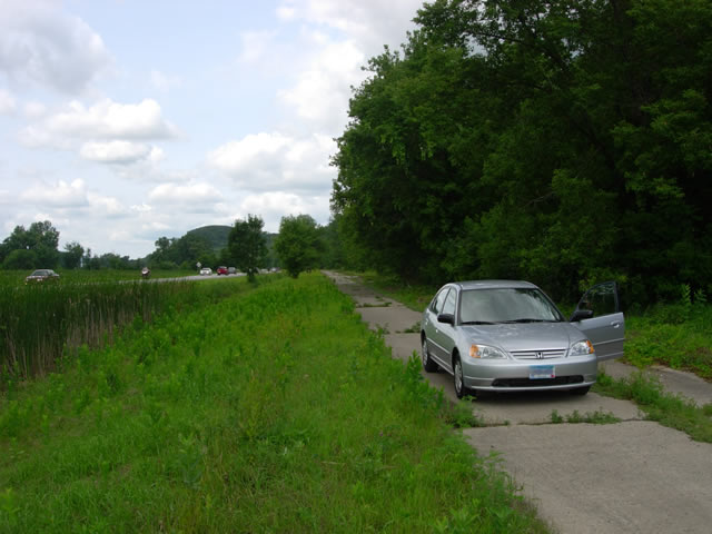
It has finally come time to say good-bye to my trusty 91′ Honda Civic. I replaced it with a silver 03′ Civic, which so far is rust free, has airbags, has a hood that latches, and doesn’t overheat constantly! I took it out today on an expedition down U.S. 61, and was finally able to fully photograph every alignment between St. Paul and La Crosse! I am feverishly working on an update to the Historic U.S. 61 project, which when completed, will fully cover all of the old alignments south of St. Paul to La Crosse, complete with better maps and photographs. I estimate a month to completion.
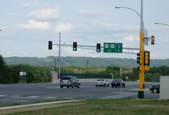
In other news, a previous entry stated that State Highway 16 had been truncated at its junction with U.S. 61 and U.S. 14 in La Crescent. This information has turned out to be totally false! MnDOT’s records are currently incorrect, as the route is still signed to the Wisconsin state line. Perhaps an agreement has not yet been reached with WisDOT to truncate the route on the Wisconsin side.
Sorry for the lack of posts here lately, but I’ve been focusing most of my website time on the U.S. 61 Project, building a new historic alignment guide for the section between St. Paul and Duluth. It’ll probably be another month before that gets done. In lieu of that, I’m going to try and post some great pics that several readers have sent in over the past few months. I haven’t gotten out on the road myself yet this year, but I hope to soon….so much to do before summer ends.
Update – April 13, 2009 – Internet is back up! However, I am currently searching for a new car, so again updates may be delayed for awhile.
The internet at my domicile is temporarily down, probably until next Friday when the cable guy is coming to hook me back into the inter-webs, so please don’t be alarmed if it seems that I’m asleep at the wheel here.