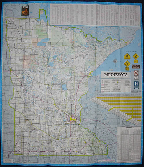
1973 Official Highway Map, Minnesota
Era 6: 1967-1983/84 - The "Mini-Maps"
Mouse Over to See Reverse Side
Previous Year (1972) << 1973>> Next Year (1974) |
Stats:
Comments:
|

Mouse Over to See Reverse Side
Previous Year (1972) << 1973>> Next Year (1974) |
Stats:
Comments:
|
![]()
All content © Andrew Munsch