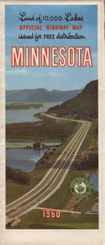
1960 Official Road Map, Minnesota
Era 4: The Gousha Maps, 1951-1961
Mouse Over to See Reverse Side
Previous Year (1959) << 1960 >> Next Year (1961) |
Stats:
Comments:
|

Mouse Over to See Reverse Side
Previous Year (1959) << 1960 >> Next Year (1961) |
Stats:
Comments:
|
![]()
All content © Andrew Munsch